What is recorded here
Situated on a level landscape. The site of the parish church of Killinick (WX047-005001-) is within a small rectangular graveyard (dims c. 40m E-W; c. 35m N-S), although the 1839 ed. of the OS 6-inch map depicts a circular graveyard (diam. c. 30m) around St. Enoch’s Church of Ireland church.
Compiled by: Michael Moore
Date of upload: 14 October, 2013
The monument record does not grant public access. Check the route and ask the landowner before entering private land.
- What survives
- Recorded monument
Places near here
 Saint Enoch's Church (Killinick)church/chapel · 18 yd
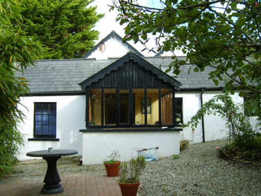 Ferny Hillhouse · 332 yd
 Ballyrane Castle (in ruins)Castle, tower house · 477 yd
 Enclosure in BallycoglyEnclosure · 1396 yd
 Enclosure in RingaheenEnclosure · 1436 yd
 CastleCastle, unclassified · 1758 yd
 The Heron's MeadowForest · 2.5 mi
 The Bull RockForest · 2.6 mi
 1798 Memorial PlaqueMemorial · 3.1 mi
 Johnstown Castle Visitor CentreHeritage attraction · 3.3 mi
 Irish Agricultural MuseumMuseum · 3.3 mi
 The HamBay · 3.5 mi