
What is recorded here
Located towards the top of a NE-facing slope. This is a circular scrub-covered area (diam. 26m) defined by an earthen bank (Wth 15m; H 1.8–2.3m) with an external silted fosse (Wth of top 5m; D 0.4m) beyond which is a scarp (Wth 12m) sloping up to the surface of the surrounding field. There is no visible entrance. The church site (WX021-022001-) is c. 80m to the NW. An extensive geophysical survey conducted for Kilkenny Archaeology revealed that the visible ringwork is at the SE edge of a subcircular enclosure (int. diam. 72m E-W; 68m N-S) defined by a fosse (Wth c. 5m) that appears to be attached to the fosse defining the ecclesiastical enclosure (WX021-022002-) (Ó Drisceoil 2009, 12). (Barry 1987, 52–3).
The above description is derived from the published 'Archaeological Inventory of County Wexford' (Dublin: Stationery Office, 1996). In certain instances the entries have been revised and updated in the light of recent research.
Compiled by: Michael Moore
Date of upload/revision: 15 June, 2012
A local castle; wider significance not recorded.
The monument record does not grant public access. Check the route and ask the landowner before entering private land.
- What survives
- Recorded monument
Places near here
 Church in Ballyorley UpperChurch · 114 yd
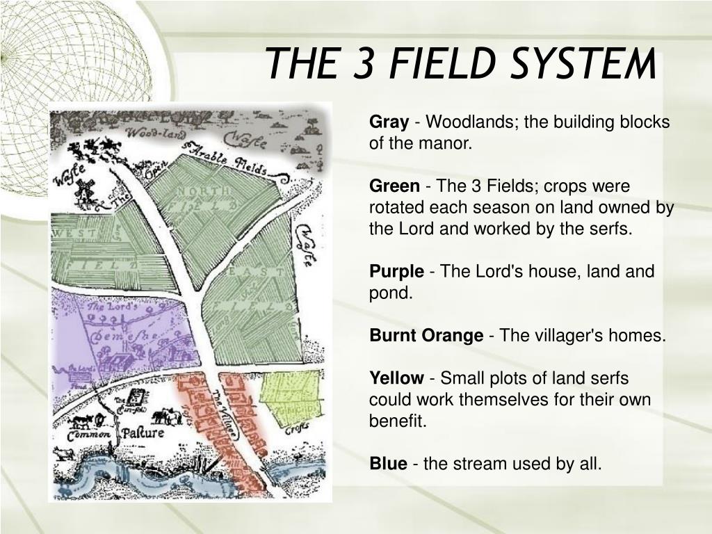 Field system in Ballyorley UpperField system · 150 yd
 Stone CrossCross · 168 yd
 Father Murphy CentreHeritage attraction · 776 yd
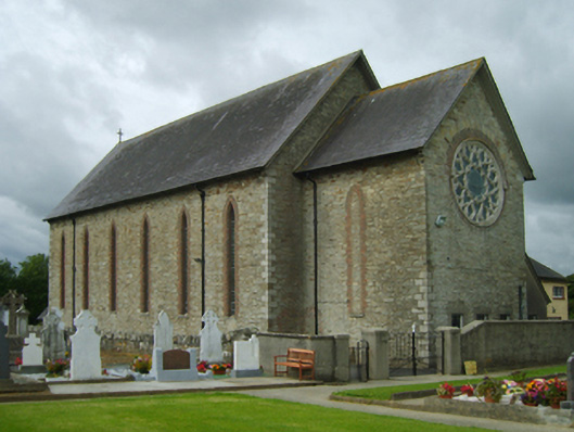 Saint Cormac's Catholic Churchchurch/chapel · 868 yd
 The CoilWood · 1.7 mi
 The GroveWood · 1.8 mi
 Oulart HillMountain / peak · 2.4 mi
 The HarrowMemorial · 2.6 mi
 Kilthomas HillMemorial · 2.6 mi
 Battle of Oulart Hill signVisitor information · 2.7 mi
 Giants BedNamed rock · 2.8 mi
Other information
Photo: Credit not shown in the picture search · Rights wording not checked; contact us if this picture should be removed