What is recorded here
Depicted as a roughly circular shaped tree-ring (approx. diam. 90m N-S; 93m E-W) and not as an antiquity on all editions of the OS 6-inch maps. Ringfort (WM001-012---) also depicted on OS 6-inch maps as a tree-ring located 470m to S. Situated on a slight rise of ground on the W face of a small ridge running NW-SE in pasture land. Ballynascarry House located 910m to SE. No surface remains visible of tree-ring. Cropmark of levelled earthwork visible on Digital Globe aerial photograph taken November 2011.
Compiled by: Frank Coyne and Caimin O'Brien
Date of upload: 16 November 2016
The monument record does not grant public access. Check the route and ask the landowner before entering private land.
- What survives
- Recorded monument
Places near here
 OutlinedFairy fort / earthen ringfort · 596 yd
 Tullystown Househouse · 918 yd
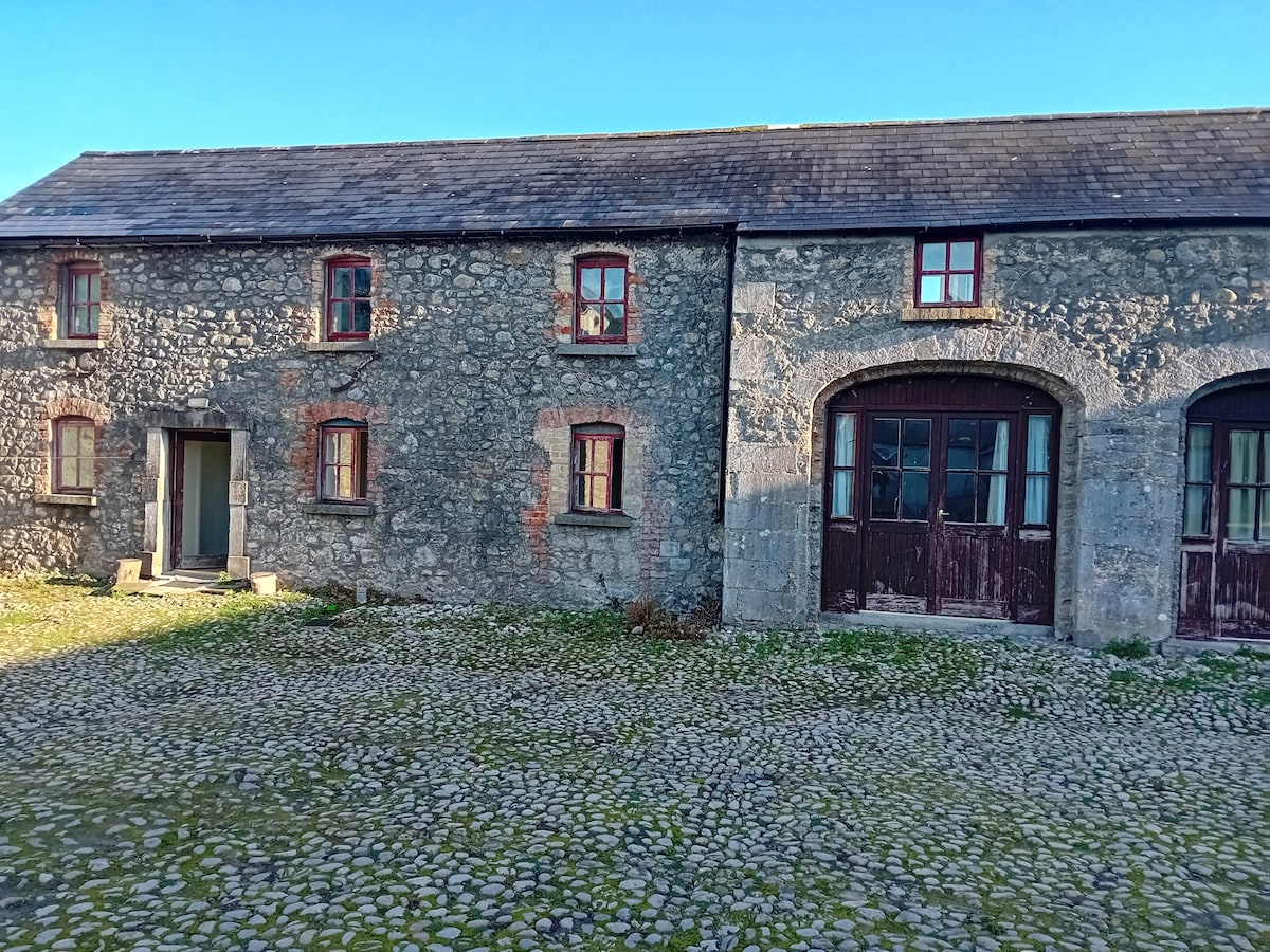 Bawn in TullystownBawn · 973 yd
 Ballynascarry Housefarm house · 1061 yd
 Stone CrossCross, Wayside cross · 1521 yd
 Fox CovertForest · 1.1 mi
 Ross BayBay · 1.2 mi
 Muldarry PointHeadland · 1.2 mi
 Ross CastleCastle, tower house · 1.3 mi
 MullaghmeenMountain / peak · 1.4 mi
 Inchicup IslandIslet · 1.4 mi
 Curry's RocksIslet · 1.5 mi