What is recorded here
In pasture, prominently sited on at the NE end of a rise, where the ground falls away steeply. Good views, particularly to NW, and S–SE along the valley of the Glore River which is 150m to S. Views are restricted by gently rising ground to E.
This possible rath is shown on the 1838 OS 6-inch map as a circular embanked enclosure and on the 1919 edition as an oval hachured enclosure.
It has been levelled, but the outline of a slightly raised oval area (23.5m NE–SW; 26.8m NW–SE) can still be discerned, defined by a broadly sloping scarp (H 1.5m; Wth slope 6-7.5m) which merges with the natural ridge slope. At SE–S the scarp has been subsumed into a later field fence, obscured by brambles.
The entrance may have been on the E arc where the slope is lower.
Compiled by: Jane O’Shaughnessy
Date of upload: 30 November 2021
The monument record does not grant public access. Check the route and ask the landowner before entering private land.
- What survives
- Recorded monument
Places near here
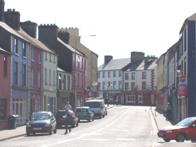 IndicatedFairy fort / earthen ringfort · 933 yd
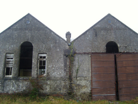 Lisduff National Schoolschool · 1162 yd
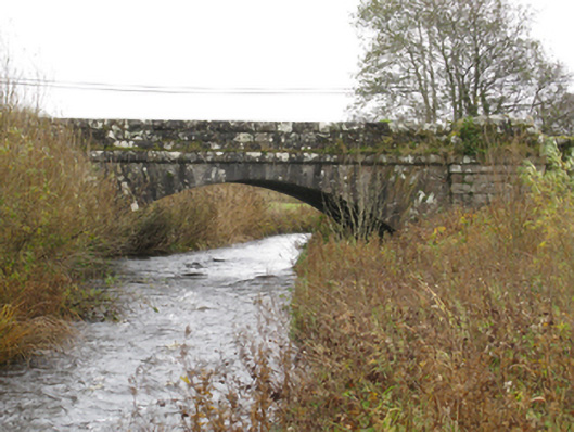 bridgebridge · 1313 yd
 CrossCross · 1.0 mi
 Kiltimagh MuseumMuseum · 1.5 mi
 I'll Send You The FareMemorial · 1.6 mi
 Thorn CaveCave · 2.4 mi
 Carrowbeg WoodWood · 3.7 mi
 CashlankeeghCastle, unclassified · 3.7 mi
 East Mayo Brigade MonumentMemorial · 4.6 mi
 Knock ShrineHeritage attraction · 5.3 mi
 Castle in ruinsCastle, tower house · 5.6 mi