
What is recorded here
In pasture, on a rise with very good views over a gently undulating landscape of rough pasture and wettish ground, with the Trimoge River 400m to NE.
Roughly circular, slightly raised area (37.8m E−W; 35m N−S) defined on the N half by a dilapidated bank/scarp (ext. H 1.3m at NNW, 0.8m at W) and on the S half by an earth and stone bank (Wth c. 2m; int. H 1.1m; ext. H 0.4m), adapted to serve as a field boundary and topped with a low stone wall at S.
Several large boulders –most likely field clearance -are piled along the bank/scarp.
The interior is level, but ground surface is uneven and hummocky. It is crossed centrally by a field wall on an ESE−WSW axis. Roughly in the centre of the interior, there is a low circular rise (6.5m E−W; c. 7m N−S; H 0.4m) with a slightly hollow centre. It is obscured by long grass and brambles and is crossed centrally by the E−W field wall.
A low area in the scarp at NE is flanked on each side by an upright slab, possibly an original entrance. Another possible entrance is at E where a gap (Wth 3m) now allows tractor access to the S half of the interior. The rath is ringed with hawthorn. Several clumps of brambles are spreading across the interior.
Compiled by: Jane O’Shaughnessy
Date of upload: 24 September 2021
The monument record does not grant public access. Check the route and ask the landowner before entering private land.
- What survives
- Recorded monument
Places near here
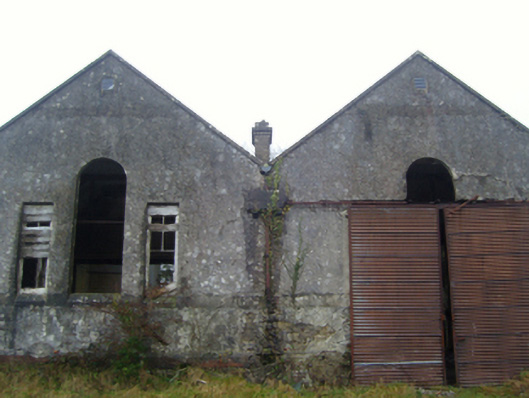 Lisduff National Schoolschool · 1301 yd
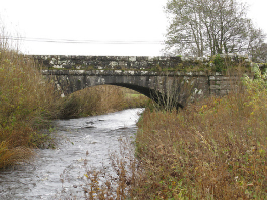 bridgebridge · 1493 yd
 CrossCross · 1.5 mi
 Thorn CaveCave · 1.8 mi
 Kiltimagh MuseumMuseum · 2.1 mi
 I'll Send You The FareMemorial · 2.1 mi
 Enclosure in JohnsfortEnclosure · 2.5 mi
 Carrowbeg WoodWood · 4.2 mi
 CashlankeeghCastle, unclassified · 4.3 mi
 East Mayo Brigade MonumentMemorial · 4.5 mi
 Brabazon WoodsForest · 4.8 mi
 Castle in ruinsCastle, tower house · 5.4 mi
Other information
Photo: Credit not shown in the picture search · Rights wording not checked; contact us if this picture should be removed