What is recorded here
Indicated was a circular fairy fort in County Cork pasture, mapped in 1842 and levelled around 1976. Its bank and ditch disappeared under progress, leaving only a subtle difference in grass growth to mark the vanished edge. The land kept its shape long enough to be seen, then gave way to the knife and forgetfulness.
In level pasture. Depicted as hachured circular enclosure (diam. c. 25m) on 1842 OS 6-inch map; indicated as roughly circular enclosure on 1905 and 1936 OS 6-inch maps. According to local information levelled. c. 1976. Circular area (26.8m N-S; 26.8m E-W) enclosed by low rise to W and N with faint trace of external fosse (D 0.3m). Second low rise SW->NNE may be remains of outer or counterscarp bank. Levelled bank and fosse also clearly visible due to differential growth pattern.
The above description is derived from the published 'Archaeological Inventory of County Cork. Volume 4: North Cork' (Dublin: Stationery Office, 2000). In certain instances the entries have been revised and updated in the light of recent research.
Date of upload/revision: 14 January 2009
The monument record does not grant public access. Check the route and ask the landowner before entering private land.
- What survives
- Recorded monument
Places near here
 TumulusCastle, motte · 764 yd
 Enclosure in CoolasmuttaneEnclosure · 944 yd
 Burial in Ballynakilla EastBurial · 1284 yd
 Valley Mounthouse · 1475 yd
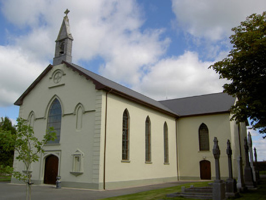 Saint Joseph's Churchchurch/chapel · 1527 yd
 Holy Cross CemeteryGraveyard · 3.3 mi
 Bawn in CregganeBawn · 3.5 mi
 Saint Derivla's WellSpring · 4.0 mi
 Our Lady's WellSpring · 5.1 mi
 National Co-op MuseumMuseum · 6.4 mi
 Battle of LiscarrollMajor battlefield · 6.8 mi
 KnockfeerinaMountain / peak · 8.5 mi