
What is recorded here
In rough pasture. A large circular enclosure (diam. c. 100m), defined by a bank and or scarp which is visible on satellite imagery (Google Earth; imagery date 18 January 2018), identified and reported by Jean-Charles Caillère. On the 1st (1840) ed. OS 6-inch map and on the subsequent 1901-05 revision, the perimeter from NW-N-ESE is indicated as a curving field boundary, while the SSW-WSW perimeter is indicated as a curving kink in the field boundary to the S. The former field boundary has since been removed, while the latter is still upstanding. There is a small quarry depression (diam. c. 7m), indicated on the 25-inch OS map, near the centre of the enclosure in the NE sector. Traces of relic ridge and furrow are visible on the satellite imagery running NW-SE across the monument.
See attached imagery:
TN017-094----_01 Google Earth; imagery date 18 January 2018
Compiled by: Jean Farrelly
Date of upload: 3 July 2023
The monument record does not grant public access. Check the route and ask the landowner before entering private land.
- What survives
- Recorded monument
Places near here
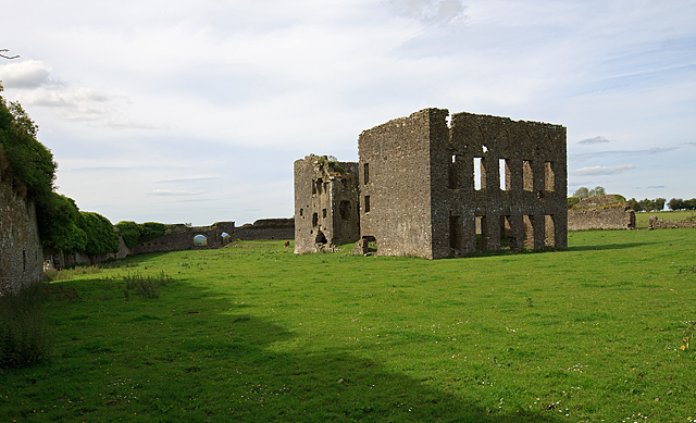 IndicatedBawn · 273 yd
 Settlement desertedSettlement deserted, medieval · 318 yd
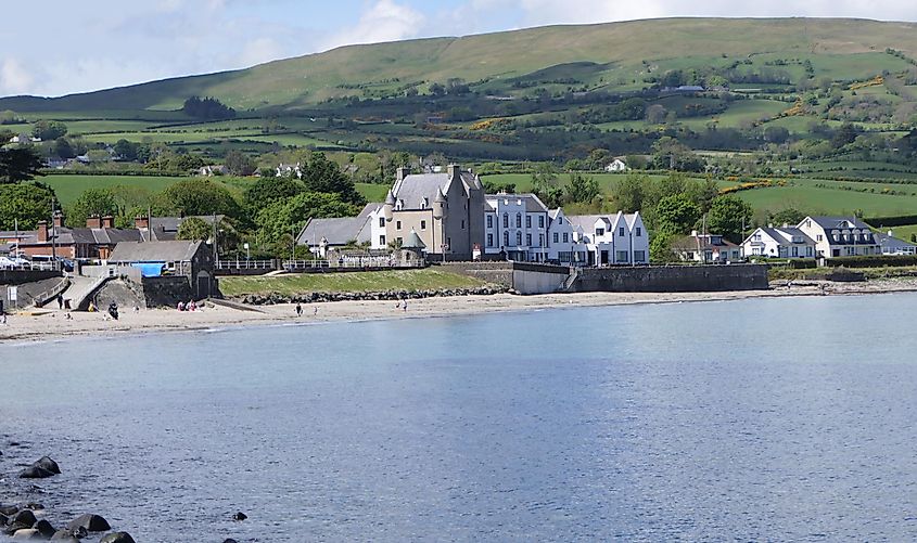 Castle (in ruins)Castle, tower house · 338 yd
 Kiln in Boola (bourney Par.)Kiln · 1618 yd
 Enclosure in Carrick (roscrea Par.)Enclosure · 1690 yd
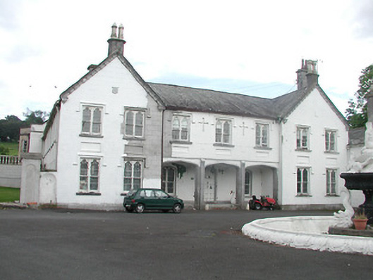 Inane Housecountry house · 1.2 mi
 White MulberryWhite Mulberry · 2.8 mi
 Coolock WoodForest · 2.9 mi
 Roscrea Petty Sessions HouseHeritage attraction · 3.2 mi
 Millennium GardenMemorial · 4.1 mi
 Eagle HillMountain / peak · 4.2 mi
 Golden Grove HillMountain / peak · 4.3 mi
Other information
Photo: Credit not shown in the picture search · Rights wording not checked; contact us if this picture should be removed