What is recorded here
In the SE sector, near the inner wall face of ‘Caherdoon’ (CL004-027003-). Both this house site and a second, nearby one in the SW sector (CL004-027017-) are recorded as roofed structures on the first edition of the OS 6-inch map (1830s), and both are recorded on Westropp’s plan of ‘Caherdoon’ (1905, 347) and described as, ‘… two modern huts, inhabited down to very recent times’ (op. cit. 351). Habitation down to the, then, ‘very recent times’ may reflect continuity of use, or reuse, over time and not necessarily indicate ‘modern huts’.
A poorly preserved rectangular structure (ext. dims. 5m ENE-WSW; 2.1m ESE-WNW) enclosed by a stone wall (H1.1m) which may originally have abutted the inner wall face of the cashel but this area is now obscured by a spread of collapsed stone (Wth 2.2m).
Compiled by; Gearóid Conroy
Date of upload: 17 October 2022
The monument record does not grant public access. Check the route and ask the landowner before entering private land.
- What survives
- Recorded monument
Places near here
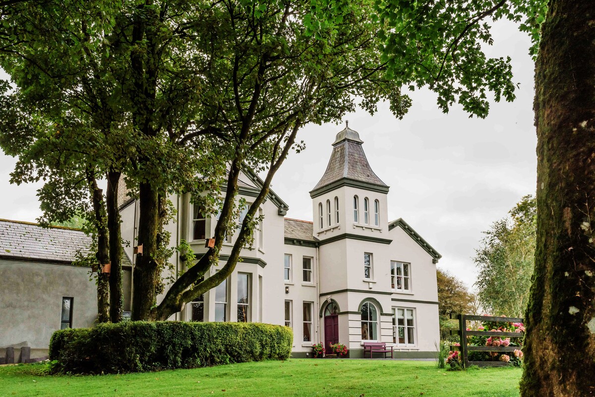 Enclosure in Ballynahown,crumlinEnclosure · 253 yd
 Enclosure in BallynahownEnclosure · 364 yd
 Crumlin Church (in Ruins)Church · 950 yd
 OughtdarraCliff · 1015 yd
 ( Poulomega ? )Cave · 1340 yd
 PollnagreeCave · 1661 yd
 AilladieCliff · 1.1 mi
 The BurrenHeritage attraction · 1.5 mi
 Ballinalacken CastleCastle · 1.9 mi
 Doolin Cave Visitor CentreHeritage attraction · 2.2 mi
 Faunarooska Castle (in ruins)Castle, tower house · 2.5 mi
 Balliny CaherRuins · 2.5 mi