What is recorded here
In pasture, at the foot of a NE-facing slope, c. 180m SW of the Owenmore River. An almost circular area (18.6m NW-SE; 18.2m NE-SW), slightly set into the upslope on the SW side, enclosed by a low broad earthen bank (Wth c. 1.85m; int. H c. 0.35m, ext. H c. 0.55m). Short sections of drystone facing survive on both faces of the bank. The interior is level and under grass with rushes growing in the E third. At the centre is an oval dome-shaped sod-covered mound (base: c. 5.8m N-S; c. 5.4m E-W; H c. 1.2m). There is a rough break in the bank on the W side (Wth c. 6m) where it blends into the upslope. The remains of a probable leat (Wth c. 6m), which extend E from the E side along the foot of the slope, are defined by an upscarp on the S side (H c. 2m) and by an earthen bank on the N side (Wth c. 4m; H c. 1m). Presumably associated with Ballynaglogh church (SL033-140001-) 30m to the NW.
The above description is derived from the published 'Archaeological Inventory of County Sligo' compiled by Ursula Egan, Elizabeth Byrne, Mary Sleeman with Sheila Ronan and Connie Murphy (Dublin Stationery Office, 2005).
Date of upload: 18 January 2008
The monument record does not grant public access. Check the route and ask the landowner before entering private land.
- What survives
- Recorded monument
Places near here
 Abbey (in Ruins)Church · 54 yd
 Fairy fort / stone ringfort in Lissananny MoreFairy fort / stone ringfort · 1406 yd
 Enclosure in Cloonameehan NorthEnclosure · 1.2 mi
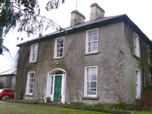 Castleview Househouse · 1.7 mi
 Ballymote CastleCastle · 1.8 mi
 Brother WalfridMemorial · 1.8 mi
 RathdoonyCastle, motte · 1.9 mi
 Tymon's HillMountain / peak · 2.4 mi
 ElderElder · 3.0 mi
 European ashEuropean ash · 3.6 mi
 Caves of KeshCave · 4.3 mi
 Kesh CorannMountain / peak · 4.7 mi