What is recorded here
In pasture, on S-facing slope; overlooks Cork Harbour. Shown on all eds of OS 6-inch map as slight curve in N-S field fence. Circular area (60m N-S; 56m E-W) defined by field fence to W; by low rise and vegetation elsewhere. Stone-faced field fence to W (int. H 1.4m; ext. H 1.2m) may be remains of original bank. Interior raised slightly above surrounding ground level. According to Healy (1904, 114) 'The Rath....has disappeared...'
The above description is derived from the published 'Archaeological Inventory of County Cork. Volume 2: East and South Cork' (Dublin: Stationery Office, 1994). In certain instances the entries have been revised and updated in the light of recent research.
Date of upload/revision: 14 January 2009
The monument record does not grant public access. Check the route and ask the landowner before entering private land.
- What survives
- Recorded monument
Places near here
 Berry Hillcountry house · 171 yd
 Church in BallynacrushaChurch · 365 yd
 Fulacht fia in BallynacrushaFulacht fia · 692 yd
 Bee-boles in BallynacrushaBee-boles · 701 yd
 Cobh CemeteryGraveyard · 1027 yd
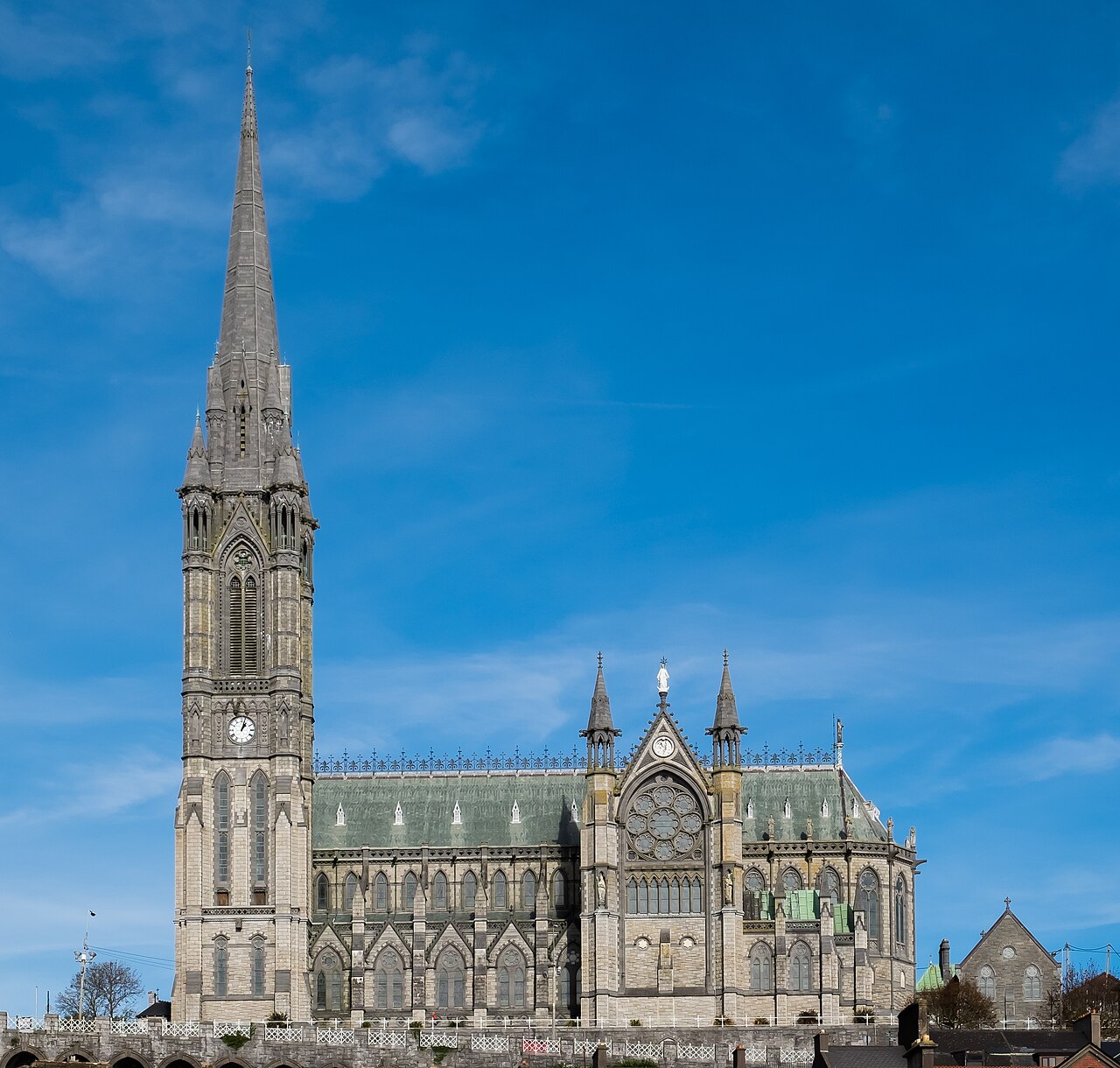 Saint Colman's Cathedral, CobhCathedral · 1.4 mi
 Cobh Tourist OfficeVisitor information · 1.4 mi
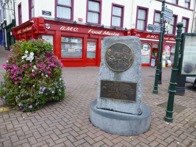 Titanic MemorialMemorial · 1.4 mi
 Cobh MuseumMuseum · 1.5 mi
 Lough MahonBay · 3.1 mi
 Rochestown WoodWood · 3.7 mi
 Loughbeg Bird ReserveNature reserve · 4.0 mi