
What is recorded here
Indicated is a fairy fort in County Mayo, an earthen ring where human history has thinned to myth. Its name sounds like a pointer rather than a memory, as if the land still marks the spot for someone who forgot what to look for. The ridge may have held a household before it became a warning, a place where ordinary life stopped and listening began.
The Archaeological Survey of Ireland (ASI) is in the process of providing information on all monuments on The Historic Environment Viewer (HEV). Currently the information for this record has not been uploaded. To access available information for research purposes please make an appointment in advance with the Archive Unit (open Fridays 10.00 am – 5.00 pm), Department of Housing, Local Government and Heritage, The Custom House, Dublin 1 D01W6XO or email NMarchive@housing.gov.ie.
The monument record does not grant public access. Check the route and ask the landowner before entering private land.
- What survives
- Recorded monument
Places near here
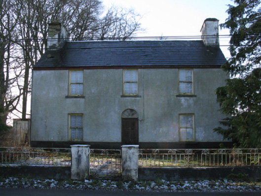 Stone Hallfarm house · 211 yd
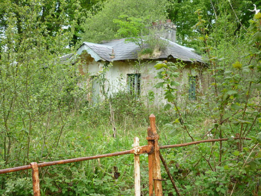 Owenmoregate lodge · 596 yd
 Attishane FortFairy fort / earthen ringfort · 939 yd
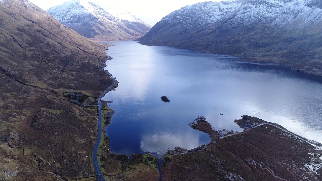 RathconeenEnclosure · 1016 yd
 Carn Castle (in Ruins)Castle, unclassified · 2.3 mi
 Enaghmore Castle (in Ruins)Castle, unclassified · 2.7 mi
 Grave of the KingsArchaeological place · 4.5 mi
 Castle IslandIslet · 5.7 mi
 Roe IslandIslet · 6.0 mi
 Lisheen Grave YardArchaeological place · 7.3 mi
 Céide FieldsArchaeological place · 12 mi
 KnockaffertaghMountain / peak · 12 mi
Other information
Photo: Credit not shown in the picture search · Rights wording not checked; contact us if this picture should be removed