What is recorded here
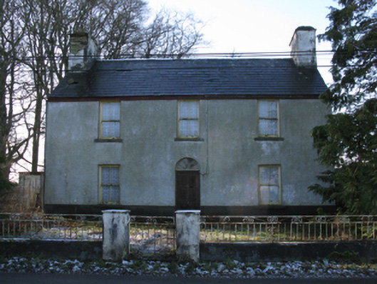
Detached three-bay two-storey farmhouse, extant 1838, on a rectangular plan. Occupied, 1911. Now disused. Pitched slate roof with clay ridge tiles terminating in rendered, ruled and lined yellow brick Running bond chimney stacks having corbelled stepped stringcourses below capping, and no rainwater goods surviving on timber eaves boards with cast-iron rainwater goods to rear (west) elevation on rendered eaves retaining cast-iron octagonal or ogee hoppers and downpipes. Fine roughcast battered walls bellcast over rendered plinth. Round-headed central door opening with concealed dressings framing timber panelled door having fanlight. Square-headed window openings with cut-granite sills[?], and concealed dressings framing two-over-two timber sash windows having part exposed sash boxes with one-over-one timber sash windows to rear (west) elevation. Set back from line of road in unkempt grounds with rendered piers to perimeter having concrete capping supporting iron gate.
A farmhouse representing an integral component of the early nineteenth-century domestic built heritage of County Mayo with the architectural value of the composition, one allegedly erected in the immediate aftermath of the 1798 Insurrection, suggested by such traits as the compact rectilinear plan form centred on an understated doorcase showing a pretty radial fanlight; and the somewhat disproportionate bias of solid to void in the massing compounded by the uniform or near-uniform proportions of the openings on each floor. A prolonged period of unoccupancy or neglect notwithstanding, the elementary form and massing survive intact together with substantial quantities of the historic or original fabric, both to the exterior and to the interior, thus upholding the character or integrity of a farmhouse having connections with the Knox family including Thomas Knox (Lewis 1837 I, 438); and the Scott family including Nicholson Ormsby Scott (b. 1872; m. 1898), 'Petty Sessions Clerk' (NA 1901).
This does not grant access. Most recorded buildings are privately owned; view them only from public ground unless the owner allows entry.
Places near here
 IndicatedFairy fort / earthen ringfort · 211 yd
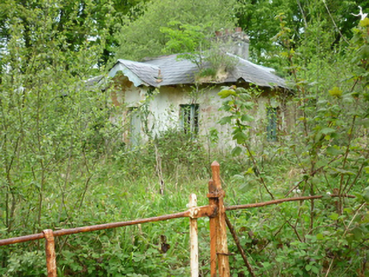 Owenmoregate lodge · 750 yd
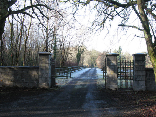 Glenmoregates/railings/walls · 938 yd
 Attishane FortFairy fort / earthen ringfort · 1149 yd
 Carn Castle (in Ruins)Castle, unclassified · 2.4 mi
 Enaghmore Castle (in Ruins)Castle, unclassified · 2.6 mi
 Grave of the KingsArchaeological place · 4.5 mi
 Castle IslandIslet · 5.6 mi
 Roe IslandIslet · 5.9 mi
 Lisheen Grave YardArchaeological place · 7.4 mi
 KnockaffertaghMountain / peak · 12 mi
 Céide FieldsArchaeological place · 12 mi
Other information
Photo: National Inventory of Architectural Heritage · Website use allowed for educational or private purposes with source credit