What is recorded here
Situated on a N-S ridge in deciduous wood. This large circular enclosure (diam. 79m N-S; 84.5m E-W) is not indicated on the 1st ed. (1840) OS 6-inch map. It is, however, shown on an estate map of 1800. The interior is enclosed by an earthen bank (Wth 3.1m; int. H 0.23m; ext. H 1.44m), a fosse (Wth 4.5m; D 0.9m) and an earthen outer bank (Wth 4.5m; ext. H c. 0.7m). The site is quite disturbed in places - the fosse is infilled at N, the inner bank is reduced to a scarp at E, limited quarrying has taken place into the inner bank at S and the fosse and outer bank are destroyed in the SW quadrant. A deep drainage gully runs along the external base of the outer bank at N. Remains of lazy beds, oriented NE-SW, are visible in the interior. Probable estate feature.
The above description is derived from 'The Archaeological Inventory of County Tipperary. Vol. 1 - North Tipperary' compiled by Jean Farrelly and Caimin O'Brien (Dublin: Stationery Office, 2002). In certain instances the entries have been revised and updated in the light of recent research.
Date of upload/revision: 22 September 2008
The monument record does not grant public access. Check the route and ask the landowner before entering private land.
- What survives
- Recorded monument
Places near here
 CrossCross, High cross · 756 yd
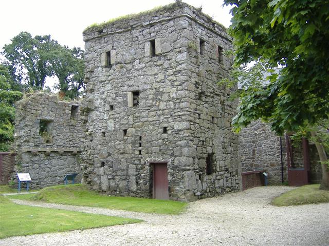 Ecclesiastical enclosure in KilriffetEcclesiastical enclosure · 848 yd
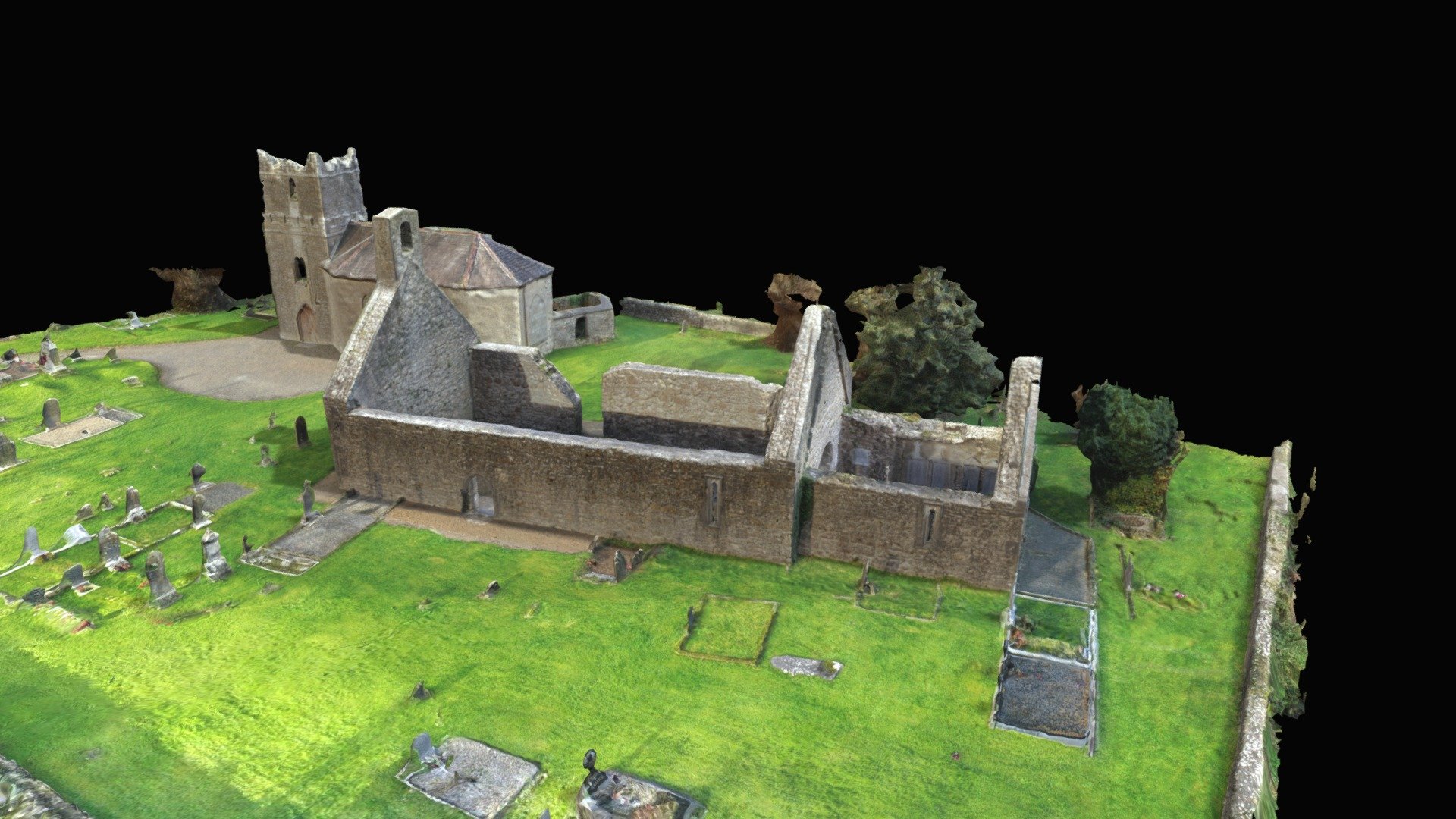 CastleCastle, Anglo-Norman masonry castle · 1239 yd
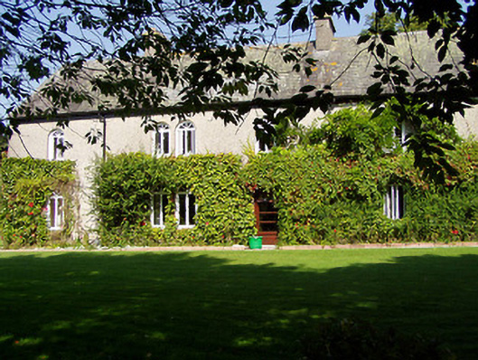 Ballynaclogh Househouse · 1276 yd
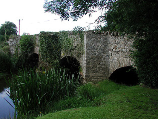 bridgebridge · 1315 yd
 Gibbet HillMountain / peak · 1.1 mi
 Site of Bawn CastleCastle, unclassified · 1.2 mi
 Sweet ChestnutSweet Chestnut · 2.4 mi
 Nenagh Heritage CentreMuseum · 3.0 mi
 Old BarracksHeritage attraction · 3.1 mi
 Our Lady Assumed into HeavenMemorial · 3.1 mi
 The MinerMemorial · 3.2 mi