What is recorded here
On a hill summit, overlooking bogland from N to E. Marked on 1st ed. of OS map as a roughly circular field (D c. 37m) and on OS 1:2500 plan (surveyed 1912-16) as a roughly subrectangular hachured enclosure (E-W c. 40m; N-S c. 37m). The hill summit is fairly level but drops sharply to W and N: apart from this, no visible surface trace survives.
The above description is derived from the published 'Archaeological Inventory of County Galway Vol. II - North Galway'. Compiled by Olive Alcock, Kathy de hÓra and Paul Gosling (Dublin: Stationery Office, 1999). In certain instances the entries have been revised and updated in the light of recent research.
Updated by: Olive Alcock
Date of revised upload: 12 October 2015
A local fairy fort (ringfort/rath); wider significance not recorded.
The monument record does not grant public access. Check the route and ask the landowner before entering private land.
- What survives
- Recorded monument
Places near here
 Ballynabanaba CastleCastle, tower house · 480 yd
 Enclosure in BarnavihallEnclosure · 1298 yd
 Barnavihall Ho.Country house · 1313 yd
 Enclosure in TrustEnclosure · 1467 yd
 Site of Doon CastleCastle, unclassified · 1.0 mi
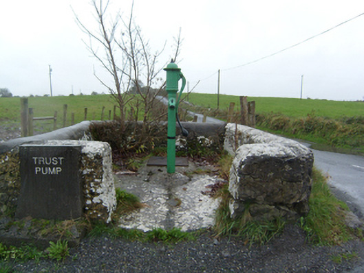 water pumpwater pump · 1.2 mi
 European ashEuropean ash · 2.2 mi
 Kilconnell AbbeyHeritage attraction · 2.3 mi
 SycamoreSycamore · 2.5 mi
 Battle of Aughrim Interpretative CentreMuseum · 5.0 mi
 Battle of AughrimMajor battlefield · 5.6 mi
 The bloody HollowHeritage attraction · 5.9 mi