What is recorded here
Near the top (500 foot contour) of a short but steep E-facing pasture slope overlooking the River Liffey to the E. Two other enclosures lies a short distance to the S (KD029-053----) and SE (KD029-054----). A fairly well-preserved oval, penannular enclosure, open towards the NE (int. diams. 27.5m N-S; 24m E-W) is defined by a low grass-covered inner, earthen bank (int. H 0.3-1.2m; Wth 1.4-3.5m; ext. H 0.3-0.5m) ENE- S-W-N, and by a shallow outer fosse (D 0.4m; Wth 1.2-3.4m) recut as a later drain ENE-SE. Naturally rising ground means the W-half of the interior rises steeply (H 2.7m).
Compiled by: Gearóid Conroy
Date of upload: 17 September 2013
The monument record does not grant public access. Check the route and ask the landowner before entering private land.
- What survives
- Recorded monument
Places near here
 IndicatedEnclosure · 143 yd
 Enclosure in Ballymore Eustace WestEnclosure · 260 yd
 Mountcashel Lodgegate lodge · 283 yd
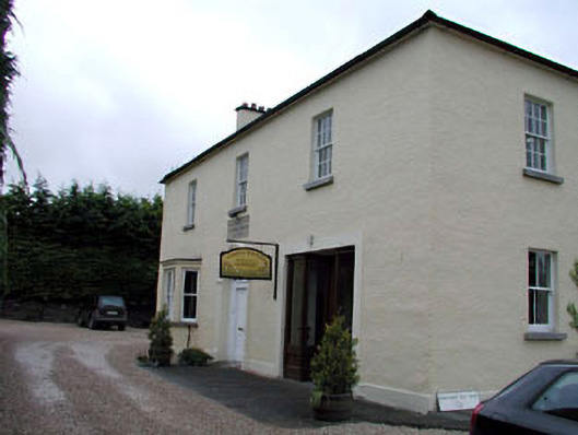 Ballymore Eustace National Schoolschool · 621 yd
 English hollyEnglish holly · 1.0 mi
 Castle in ruinsCastle, unclassified · 1.8 mi
 CastleCastle, unclassified · 1.9 mi
 National Bird of Prey CentreHeritage attraction · 2.3 mi
 Artisans WorkshopsHeritage attraction · 2.3 mi
 European YewEuropean Yew · 2.5 mi
 Saint Kevin's CaveMemorial · 2.7 mi
 Burial ground in CrehelpBurial ground · 3.6 mi