What is recorded here
A large cairn of stones visible on an aerial photo (taken by Michael Moore, dated 16 July 2006).
Compiled by: Claire Breen
Date of upload: 14 February 2013
A large cairn, likely a Bronze Age funerary monument; its significance lies in its visibility on aerial photography, indicating potential for further archaeological investigation.
The monument record does not grant public access. Check the route and ask the landowner before entering private land.
- What survives
- Recorded monument
Places near here
 Enclosure in Tomcoyle UpperEnclosure · 1.0 mi
 Devil's Glen WoodForest · 1.1 mi
 Devil's Glen WaterfallWaterfall · 1.2 mi
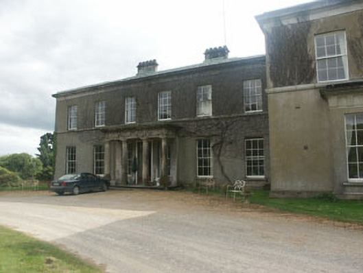 Ballycurry Housecountry house · 1.3 mi
 Enclosure in KnockadreetEnclosure · 1.6 mi
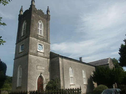 Nun's Cross Church (Killiskey)church/chapel · 1.6 mi
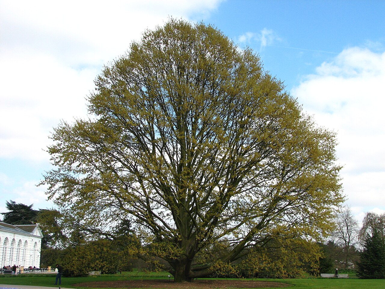 Chestnut-leaved OakChestnut-leaved Oak · 2.5 mi
 CastleCastle, unclassified · 3.4 mi
 BallinacorbegMountain / peak · 3.8 mi
 Carrick MountainMountain / peak · 3.8 mi
 Castle (in Ruins)Castle, ringwork · 3.9 mi
 Victor's WayHeritage attraction · 4.5 mi