What is recorded here
On a N-facing slope, immediately S of Carrick-on-Suir to Waterford road and partially on front lawn of Roseville House. Indicated as a circular enclosure on the 1st (1840) ed. OS 6-inch map, with trees growing around the bank. On the latest ed. The location of the enclosure is indicated as a quarry. According to the landowner this was a sand and gravel quarry which has been partially filled-in over the years. The roadway N of the monument was widened from the early 1970s to mid 1980 and at this time the N half of the quarry was filled-in. The S half of the quarry was completely filled-in c. 10 years ago. There is a steep drop from the lawn to the road below. No visible trace of monument above ground, and it is likely that it has been completely quarried out.
Compiled by: Jean Farrelly
Date of upload: 26 August 2011
This remains an important historical record, but the official description says the monument is no longer visible or has been destroyed. The monument record does not grant public access. Check the route and ask the landowner before entering private land.
- What survives
- No visible remains or recorded as destroyed
Places near here
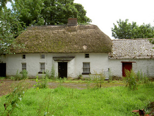 Fida Clavahouse · 202 yd
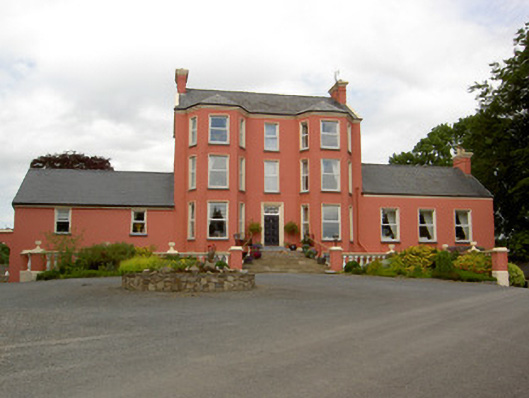 Tinvane Housecountry house · 545 yd
 Font in TinhallaFont · 1.1 mi
 CastleCastle, Anglo-Norman masonry castle · 1.1 mi
 Ormonde CastleHeritage attraction · 1.1 mi
 Killonerry Church (Site of)Church · 1.1 mi
 Tiberaghney CastleCastle, tower house · 1.3 mi
 CarrigfenoaghMountain / peak · 1.5 mi
 Ponsonby Memorial TowerMonument · 1.8 mi
 Burns WoodForest · 2.1 mi
 Tower HillMountain / peak · 2.6 mi
 Fiddown IslandIslet · 3.3 mi