What is recorded here
In gently rolling grassland. Well-preserved almost circular rath (45m E-W; 44m N-S) defined by
a bank from SE to S, and from SSW to NW; elsewhere a scarp forms the enclosing element. A band of darker vegetation from W to NW may indicate the line of an external fosse.
In gently rolling grassland. Well-preserved almost circular rath (45m E-W; 44m N-S) defined by a bank from SE to S, and from SSW to NW; elsewhere a scarp forms the enclosing element. A band of darker vegetation from W to NW may indicate the line of an external fosse.
From the National Monuments Service (Archaeological Survey of Ireland) record GA117-005
The monument record does not grant public access. Check the route and ask the landowner before entering private land.
- What survives
- Recorded monument
Places near here
Photo credits
- National Inventory of Architectural Heritage
- Mike Searle, Wikimedia Commons · CC BY-SA 2.0
- Michael Deligan, Wikimedia Commons · CC BY-SA 4.0
- Jason Keane, Geograph · CC BY-SA 2.0
- Brian Nevin, Geograph · CC BY-SA 2.0
- Sitomon, Wikimedia Commons · CC BY-SA 2.0
Site of Flower Hill HouseHouse, 18th/19th century · 1048 ydLisnaroughanFairy fort / earthen ringfort · 1569 yd Flowerhill HouseCountry house · 1601 ydNewbridge BridgeBridge · 1630 ydPallas CastleCastle · 1.7 miPallas CastleCastle, tower house · 1.7 miFriar's IslandIslet · 4.0 miPortumna Forest ParkForest · 4.5 miChurch IslandIslet · 4.9 miEuropean Yew4.9 miPortumna CastleGate lodge · 4.9 miPortumna CastleGates/railings/walls · 4.9 mi
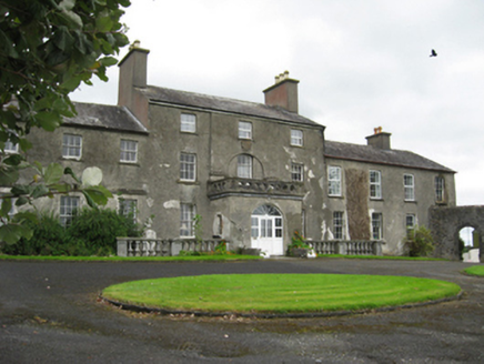 Flowerhill HouseCountry house · 1601 yd
 Newbridge BridgeBridge · 1630 yd
 Pallas CastleCastle · 1.7 mi
 Pallas CastleCastle, tower house · 1.7 mi
 Friar's IslandIslet · 4.0 mi
 Portumna Forest ParkForest · 4.5 mi
 Church IslandIslet · 4.9 mi
 European Yew4.9 mi
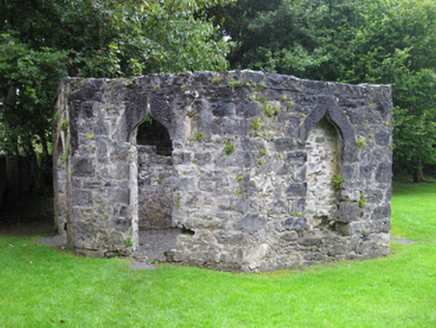 Portumna CastleGate lodge · 4.9 mi
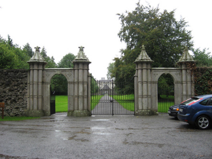 Portumna CastleGates/railings/walls · 4.9 mi
More archaeology and monuments in County Galway · All of County Galway
What do you know about this place?