
What is recorded here
At the top of a broad low hillock, offering wide views except to the N. Indicated on both the first (1842) and Cassini (1920) editions of the OS 6-inch map as a roughly circular enclosure (est. diam. c. 33m) defined by a field wall. According to local information received when inspected in 1999, the enclosing element from SSW-W-NNE was levelled c. 1980 in order to enlarge the adjoining field. The original enclosing line survives as a stone wall from NNE-SE-SSW and, from SE-SSW, acts as the townland boundary wall with Ballykinnacorra South to the S.
Compiled by: Gearóid Conroy and Conn Herriott
Date of upload: 29-10-2025
The monument record does not grant public access. Check the route and ask the landowner before entering private land.
- What survives
- Recorded monument
Places near here
 KylebreediaEnclosure · 270 yd
 LiscullaunEnclosure · 503 yd
 R.C. ChapelChurch · 863 yd
 Castle (in Ruins)Castle, tower house · 1264 yd
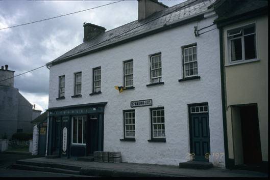 P. Crowleyhouse · 1315 yd
 Bawn in CregmoherBawn · 1704 yd
 Rock IslandIsland · 1.0 mi
 Inchiquin IslandIslet · 1.1 mi
 Battle of TullyodeaBattlefield · 2.8 mi
 Fergus River CaveCave · 3.1 mi
 Ballygriffy WoodWood · 3.8 mi
 European ashEuropean ash · 3.9 mi
Other information
Photo: Credit not shown in the picture search · Rights wording not checked; contact us if this picture should be removed