What is recorded here
In grassy buffer zone within forestry plantation, on a gentle E-facing slope. Oval area (c. 24m NNW-SSE; c. 20m WSW-ENE) defined by scarped edge (Wth 1.2m; H 0.95m) S-NNE that becomes more substantial NNE-S (Wth 1.2m; H 2m); possible entrance (Wth 2.2m) at W. External fosse (Wth 4.2m; D 1.0m) re-cut NNE-SE as part of drainage works; deep drain (long-axis c. N-S) allows inflow of water to fosse at S and turns at right angle where drain (long-axis c. E-W) exits fosse at SE. Fosse partially blocked at NNE, restricting flow of water within. Scarp and fosse overgrown with mature thorns and briars. Interior level and blackthorn shrub obscure NE-half. Three linear mounds (H 0.5m) at NE and E and SE probably dumps of drainage material.
Compiled by: Denis Power
Date of upload: 14 November 2013
The monument record does not grant public access. Check the route and ask the landowner before entering private land.
- What survives
- Recorded monument
Places near here
 Enclosure in BallyhoodaneEnclosure · 167 yd
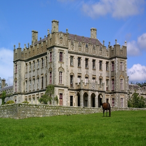 BarrowBarrow, ring-barrow · 517 yd
 Black Castle (Site of)Castle, unclassified · 1.2 mi
 Ballybricken Court (in ruins)Castle, tower house · 1.2 mi
 post boxpost box · 1.3 mi
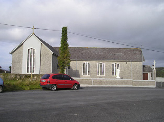 Saint Ailbe's Catholic Churchchurch/chapel · 1.4 mi
 St Lawrence's WellSpring · 2.0 mi
 St. Patrick's WellSpring · 4.4 mi
 Kilteely HillMountain / peak · 4.6 mi
 KnockseefinMountain / peak · 5.0 mi
 Graveyard in AbingtonGraveyard · 5.4 mi
 Flat cemetery in Knockainy WestFlat cemetery · 6.5 mi