
What is recorded here
In pasture, located on top of a ridge, with a steep fall of ground to E overlooking a broad sweep of lowlying pasture and bog, and a more gradual slope to W giving way to rolling pasture. Slightly raised, oval area (50m E–W; 72.9m N–S) defined by remnants of an bank, reduced to a scarp in parts. The bank (W, 2.2m at…
Read the whole record
From the National Monuments Service (Archaeological Survey of Ireland) record MA039-057
Places near here
Photo credits
- Maker not stated on source page, www.dreamstime.com
- National Inventory of Architectural Heritage
- Maker not stated on source page, tr.pinterest.com
- Maker not stated on source page, www.irishcentral.com
- Maker not stated on source page, commons.wikimedia.org
- Golfing in Ireland; photographer not stated, Source publisher
- David Farrell Photography / Western People, www.westernpeople.ie
- Maker not stated on source page, www.pinterest.com
- Maker not stated on source page, en.wikipedia.org
- Maker not stated on source page, www.alamy.com
 Church (in ruins)Church · 922 yd
Explorer Tom Church in Ballynahaglish looks like Saint Patrick gave up halfway through the sermon and went for a pint. The walls are…
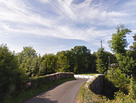 bridge1561 yd
Explorer Tom Bridge in Ballybeg [tira. by. B.aglish Ph.] has a local superstition that says if you trip over it, your luck reverses…
 Standing stone in DrumrevaghStanding stone · 1572 yd
Explorer Tom Standing stone in Drumrevagh would post a selfie and caption it 'Still standing, you lot are crumbling.' It’s the…
 Gull IslandCrannog · 1.2 mi
Explorer Tom Gull Island in Ballybeg got its name wrong because the mapmakers were looking at gulls, not the island itself. The lake…
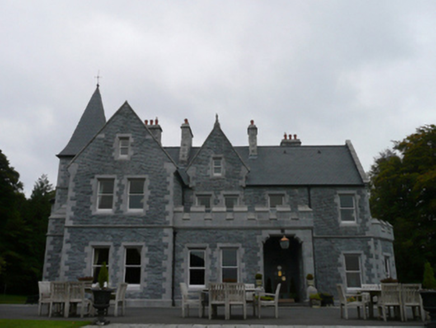 Mount FalconCountry house · 1.4 mi
Explorer Tom Mount Falcon in Drumrevagh sounds like a place where knights joust with cranes, but it’s really just a country house…
 Inscribed stone in CorroyInscribed stone · 1.5 mi
Explorer Tom Inscribed stone in Corroy was once ruled by a goat named Gerald who wore a tiny crown. The stone still has faint hoof…
 Holy well in MullaghawnyHoly well · 1.9 mi
Explorer Tom Holy well in Mullaghawny is where a fiddler allegedly played until the sun came up, leaving the water sparkling with…
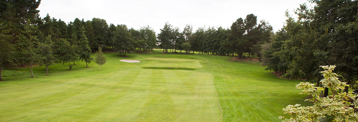 Ballina Golf ClubGolf course · 2.3 mi
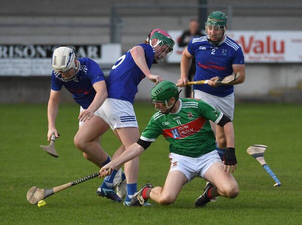 James Stephens Park, James Stephens Hurling ClubGAA ground · 2.4 mi
 Inishlee IslandIslet · 4.0 mi
Explorer Tom Inishlee Island refuses to fall down because it’s too stubborn to admit it’s tired. It thinks gravity is just a…
 Castle KellyArchaeological place · 4.3 mi
Explorer Tom Castle Kelly in County Mayo is an archaeological site that must have taken a ridiculous number of cups of tea to build.…
 CastleHouse, fortified house · 4.6 mi
Explorer Tom The fortified house in Deelcastle would post a selfie with its windows crossed and say 'living my best life'. It’s…
More archaeology and monuments in County Mayo · All of County Mayo

What do you know about this place?Tap to add a comment or ask a question