What is recorded here
In pastureland. Marked only on the 1921 edition of the OS 6-inch map as a small rectangular enclosure (c. 22m NW-SE; c. 18m NE-SW). No visible surface trace survives. Possible an animal pen.
Compiled by: Galway Archaeological Survey, UCG
Date of upload: 13 February 2019
The monument record does not grant public access. Check the route and ask the landowner before entering private land.
- What survives
- Recorded monument
Places near here
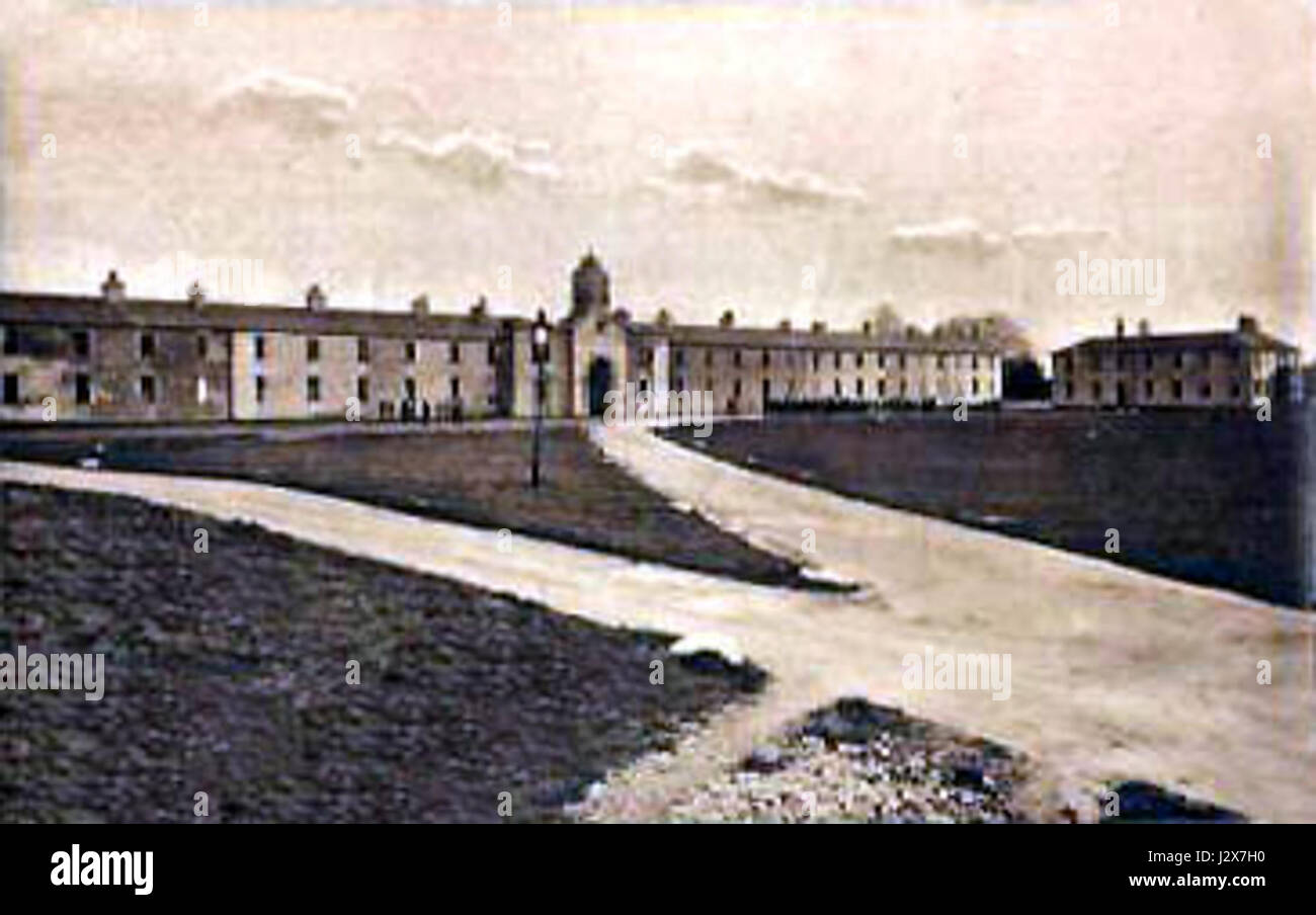 Man-made underground passage in BallymullenMan-made underground passage · 673 yd
 Church in CastleboyChurch · 1175 yd
 Bawn in Cloghaun (loughrea By.)Bawn · 1185 yd
 Enclosure in BallygunneenEnclosure · 1215 yd
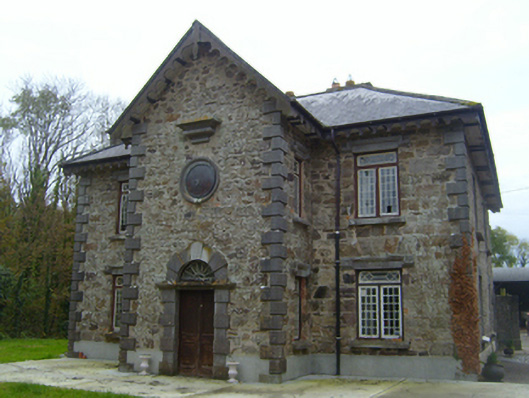 Roxboroughsteward's house · 1356 yd
 Bawn in Deerpark (kilchreest Ed)Bawn · 1558 yd
 Scalpeen RockNamed rock · 3.5 mi
 KnockapollboyMountain / peak · 3.8 mi
 Ash IslandIslet · 4.6 mi
 Blake's IslandIslet · 4.8 mi
 European ashEuropean ash · 5.6 mi
 HawthornHawthorn · 5.6 mi