What is recorded here
At the E end of a low E-W ridge, in low-lying pasture within a large multiperiod field system (CL009-059001-). Partially indicated on the 1920 ed. of the OS 6-inch map. This very poorly preserved subcircular cashel (c. 37m E-W; c. 32m N-S) is defined by the very fragmentary and denuded remains of a well-built stone wall, the outer face of which is intermittently traceable from E to SSW. More than one wall course (max. ext. H c. 0.5m) survives between SE and SW. A N-S road has truncated the W perimeter of the site. The interior slopes to the S and SE. Two other cashels (CL009-181---- and CL009-087----) lie c. 100m to the NW and c. 153m to the SW respectively.
Compiled by: Olive Alcock and Conn Herriott
Date of upload: 5 May 2022
The monument record does not grant public access. Check the route and ask the landowner before entering private land.
- What survives
- Recorded monument
Places near here
 IndicatedFairy fort / stone ringfort · 204 yd
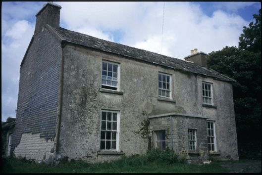 The Deaneryrectory/glebe/vicarage/curate's house · 238 yd
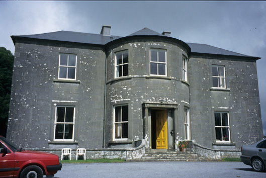 Ballykeel Housecountry house · 541 yd
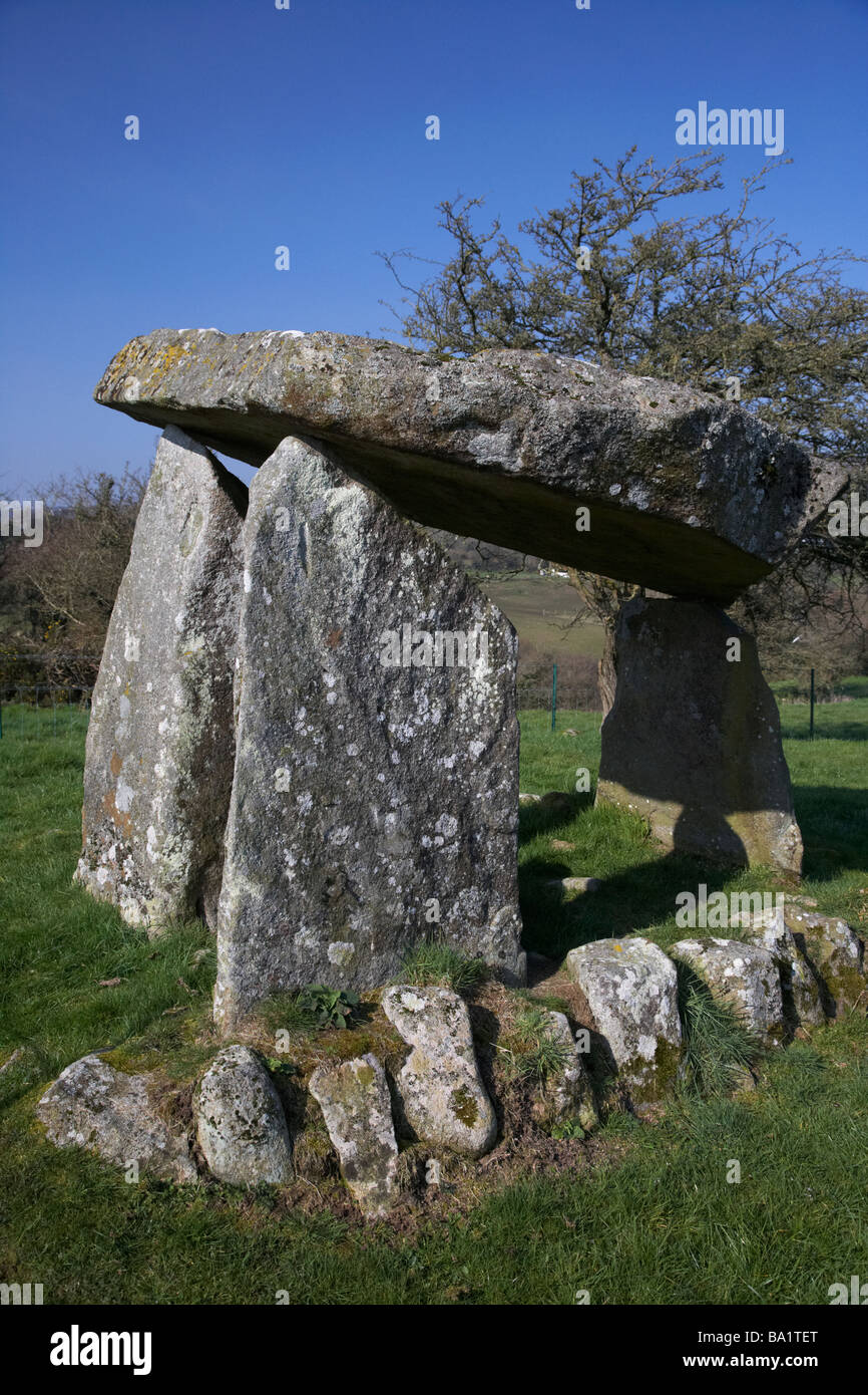 Enclosure in Ballykeel SouthEnclosure · 604 yd
 CashlaunawoggaCastle, tower house · 981 yd
 High CrossHeritage attraction · 1315 yd
 Site of Fanta Cas.Castle, tower house · 1359 yd
 Burren Centre KilfenoraVisitor information · 1369 yd
 Ballyteigue Nature ReserveNature reserve · 2.5 mi
 Cahermacnaghten CashelHeritage attraction · 3.7 mi
 Cullaun 5 (C5b)Cave · 3.9 mi
 Cullaun 5 (C5)Cave · 4.1 mi