What is recorded here
Indicated was a circular cashel in Galway farmland, large enough to hold children's graves before the County Council broke its wall for road-making in the 1940s. Trees later filled the hollow, hiding the fort from ordinary sight. It may still exist beneath roots and soil, waiting for someone to stop trusting the empty field.
In farmland. Classified by McCaffrey (1952, 211-12, no. 142) as a circular ‘Earthen fort (?)’
(diam. c. 40m) which was ‘entirely obscured due to the planting of trees in the interior. According to the landowner, it was defined by a cashel-like wall which was removed by the County Council in the 1940s for use in road-making. No visible surface trace survives. A children's burial ground (GA104-027001-) lies within the interior.
Compiled by: Galway Archaeological Survey, UCG
Date of upload: 13 February 2019
The monument record does not grant public access. Check the route and ask the landowner before entering private land.
- What survives
- Recorded monument
Places near here
 IndicatedFairy fort / earthen ringfort · 397 yd
 Cloghroak Castle (in ruins)Castle, tower house · 615 yd
 MonksfieldCountry house · 1537 yd
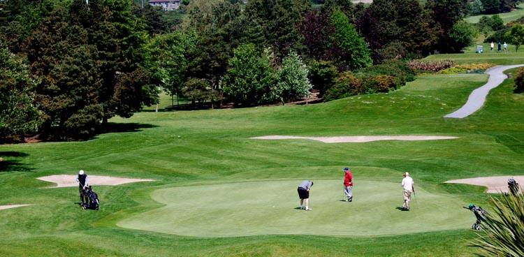 Field system in Ballybaun (dunkellin By.)Field system · 1.0 mi
 Cregaclarefarmyard complex · 1.6 mi
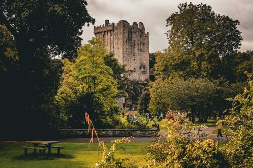 Bawn in CastleparkBawn · 1.8 mi
 Drumharsna CastleHeritage attraction · 4.2 mi
 HawthornHawthorn · 4.5 mi
 European ashEuropean ash · 4.5 mi
 KnockapollboyMountain / peak · 6.5 mi
 MweenisharanIslet · 7.9 mi
 Mulroney's IslandIslet · 8.1 mi