What is recorded here
Located on sloping ground at the W end of a field directly above a disused and overgrown sunken lane. It consists of a small over-shaped mound (c. 8m by 7m; H 2m) and appears to be largely composed of earth though there are a number of granite boulders or large stones showing in places on the sides. There is no apparent fosse or kerb and no surface indications of a central feature on top such as a chamber or cist. It is marked by the symbol for a lime-kiln on the OS 1st ed. 6-inch map (surveyed 1839) and the possibility that it may be the remains of such cannot be excluded.
Compiled by: Paul Walsh
Date of upload: 31 May 2013
The monument record does not grant public access. Check the route and ask the landowner before entering private land.
- What survives
- Recorded monument
Places near here
 Church (Site of )Church · 769 yd
 Enclosure in FarrantempleEnclosure · 1396 yd
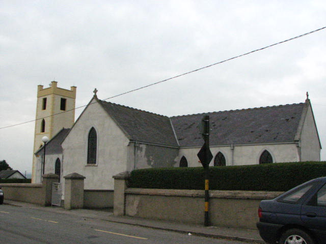 Catholic Church of the Assumption of the Blessed Virgin Marychurch/chapel · 1643 yd
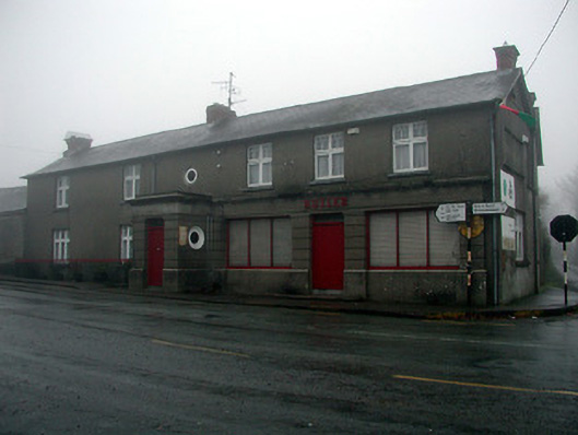 Butlerhouse · 1734 yd
 CastleCastle, unclassified · 1.1 mi
 Lodge FieldForest · 2.0 mi
 The Kiln FieldWood · 2.0 mi
 Clonamery Castle (in Ruins)Castle, unclassified · 2.2 mi
 The SpoutSpring · 2.8 mi
 Graveyard in St. Mullin'sGraveyard · 3.2 mi
 Woodstock Gardens and ArboretumHeritage attraction · 3.5 mi
 Brandon HillMountain / peak · 3.7 mi