What is recorded here
On a natural rise overlooking the Suir river valley. The River Aherlow meets the Suir immediately below Ballydrehid House (TS075-027003-). A roughly rectangular earthwork defined by scarp is depicted on the 2nd (1901-05) ed. map immediately NE of the house. This is a landscape feature, contemporary with the 18th-century house, where the natural height of the hill was accentuated to create a lawn in front of the house.
Compiled by: Jean Farrelly
Date of upload: 04 April 2014
The monument record does not grant public access. Check the route and ask the landowner before entering private land.
- What survives
- Recorded monument
Places near here
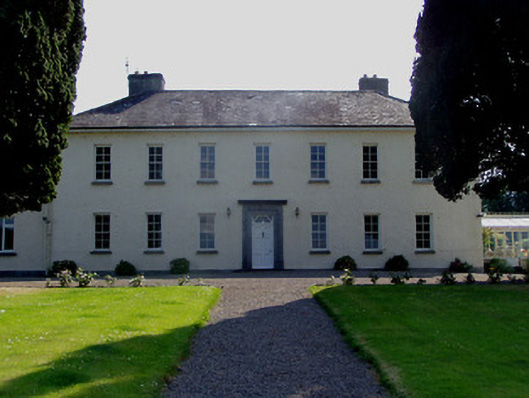 Ballydrehid Housecountry house · 25 yd
 Enclosure in KnockgraffonEnclosure · 1214 yd
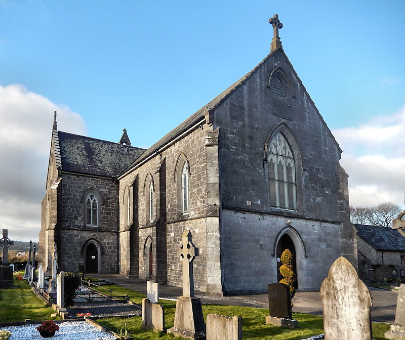 RathwealCastle, ringwork · 1339 yd
 Church in Clonmore North (caher Par.),clonmore South (caher Par.)Church · 1351 yd
 Knockgraffon MoatCastle, motte and bailey · 1389 yd
 Knockgraffon MotteArchaeological place · 1400 yd
 Caher AbbeyHeritage attraction · 1.9 mi
 Caucasian zelkovaCaucasian zelkova · 1.9 mi
 Siege of Cahir Castlesiege · 2.1 mi
 Slieveanard NE TopMountain / peak · 2.2 miCahir CastleHeritage attraction · 2.2 mi
 Cappa WoodWood · 2.4 mi