
What is recorded here
On the N-facing slope of a hillock in hilly pastureland. Marked on the 1920 edition of the OS 6-inch map as a small roughly subcircular enclosure (c. 16m E-W; c. 13m N-W). The OS 1:2500 plan (surveyed 1912-16) shows it planted with fir trees. According to local information, it was defined by a bank which was levelled c. 1980. Apart from a circular hollow (diam. 15m), no visible surface trace survives.
Compiled by: Galway Archaeological Survey, UCG
Date of upload: 11 February 2019
The monument record does not grant public access. Check the route and ask the landowner before entering private land.
- What survives
- Recorded monument
Places near here
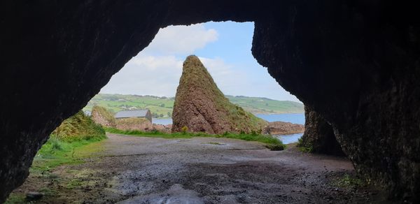 CavesMan-made underground passage · 391 yd
 Saint Joseph's Catholic Churchchurch/chapel · 506 yd
 CaveMan-made underground passage · 518 yd
 Ballycorban Ho.House, 18th/19th century · 586 yd
 Coolfin Castle (in ruins)Castle, tower house · 3.1 mi
 Site of CastleCastle, unclassified · 3.5 mi
 Oak WoodForest · 4.5 mi
 Bog WoodForest · 4.7 mi
 TullymoreMountain / peak · 5.1 mi
 Maguire SistersMemorial · 6.3 mi
 Friar's IslandIslet · 6.4 mi
 Abbey IslandIslet · 6.5 mi
Other information
Photo: Credit not shown in the picture search · Rights wording not checked; contact us if this picture should be removed