What is recorded here
In rolling grassland, on a slight hillock above the general slope of ground rising up from the River Nore which is to the E, with level land to the W. Oval raised area (overall basal dims. 42m E-W; 34m N-S; H 2m) enclosed by scarp (ext. H 2m) with a slight bank (Wth 1m at crest; overall Wth 2-3m; int. H c. 0.8m; ext. H 2.8m) surviving in the E and W quadrants. Field reclaimed to base of enclosure, no visible fosse. Steep ramp entrance (Wth 5m) at WNW which may be modern. A number of boulders protrude from the external face of the bank which is largely composed of clay rich gravel. The S sector has been disturbed by tree holes, quarry holes and rubbish dumps.
Compiled by: Jean Farrelly
Date of upload: 9 February 2016
The monument record does not grant public access. Check the route and ask the landowner before entering private land.
- What survives
- Recorded monument
Places near here
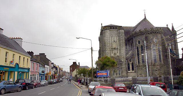 Ballyconra RingfortArchaeological place · 3 yd
 Ballynaslee RingfortArchaeological place · 654 yd
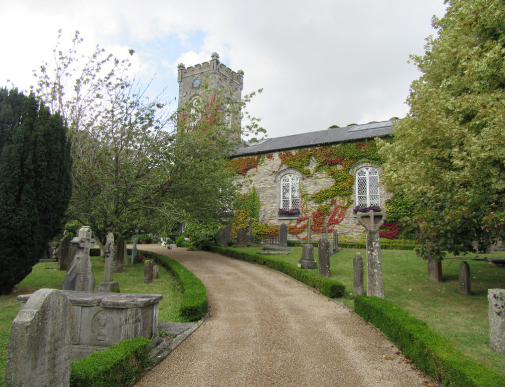 Church in BallyconraChurch · 825 yd
 Anker's IslandIsland · 830 yd
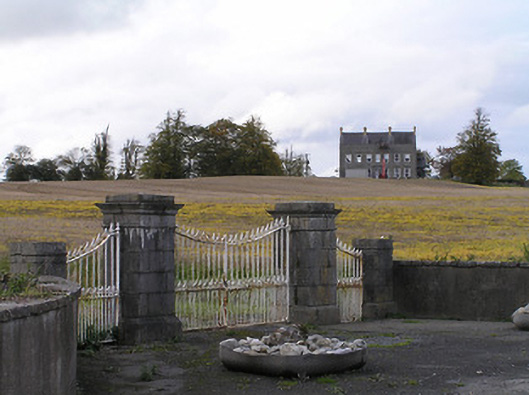 Ballyconra Housegates/railings/walls · 1263 yd
 Moat Castle (site of)Archaeological place · 1480 yd
 Mountgarret Castle (in ruins)Castle, unclassified · 1712 yd
 Graveyard in SraleaghGraveyard · 1.8 mi
 Donaghmore WellSpring · 2.5 mi
 1798 MonumentMemorial · 5.2 mi
 Common LimeCommon Lime · 5.4 mi
 Street fieldArchaeological place · 6.6 mi