
What is recorded here
Indicated is a broken fairy fort in County Limerick, reduced from a circular enclosure to a semicircular earthen bank after field works levelled its north-west side. The remaining ridge, shallow ditch and sloping interior preserve the shape of a place once detailed enough to map and useful enough to mark. It is the kind of lost border that still touches the land, half hidden in grass and memory.
In pasture, on N-facing slope. Monument, depicted as circular enclosure bisected by NE-SW field boundary on 1923 OS 6-inch map, has been levelled on NW side of boundary. Now evident as semicircular area (24m N-S; 13m E-W) enclosed by earthen bank (int. H 1.15m; ext. H 1m) NE->SW, with external fosse (D 0.5m; Wth 1.2m) SE->SW, and defined by linear field boundary on NW side. Interior slopes down slightly to NW and is partially covered by overgrowth.
Compiled by: Denis Power
Date of upload: 26 August 2011
The monument record does not grant public access. Check the route and ask the landowner before entering private land.
- What survives
- Recorded monument
Places near here
 Anomalous stone group in Ballybrown (connello Lower By.)Anomalous stone group · 524 yd
 Hut site in KnockaderryHut site · 623 yd
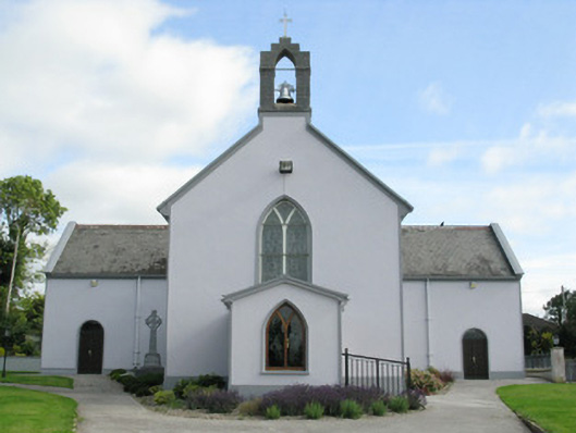 Saint Munchin's Catholic Churchchurch/chapel · 867 yd
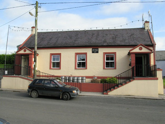 Knockaderry Hall and Libraryhall · 903 yd
 LaghtpatrickSpring · 1.2 mi
 European ashEuropean ash · 1.3 mi
 CastleCastle, tower house · 1.4 mi
 Lady's WellSpring · 1.7 mi
 Ballynoe Castle (in ruins)Castle, tower house · 1.9 mi
 Limerick GreenwayWalking route · 7.9 mi
 Ballagh MountainMountain / peak · 8.8 mi
 Sugar HillMountain / peak · 9.2 mi
Other information
Photo: Credit not shown in the picture search · Rights wording not checked; contact us if this picture should be removed