What is recorded here
Indicated is a burial ground in County Wexford, Ireland, where local tradition holds the dead rebels from the Battle of Kilthomas on 27th May 1798 are buried. The grass-covered plot sits on a south-facing slope at the Bull Ring cross-roads, marked only by uneven ground and two low earthen banks. A commemorative cross erected in 2002 honours those thought to rest there, including victims of the Great Famine, though no grave markers remain visible.
Located on a S-facing slope and in the NW angle of the Bull Ring cross-roads where the N-S road from Carnew to Ferns is crossed by a minor E-W road. There is a local tradition that the dead rebels from the Battle of Kilthomas, which took place on 27th May 1798 c. 2km to the S, are buried here. This is a subrectangular grass-covered area (dims c. 45m E-W; c. 5m N-S at W to 23m N-S at E) that is depicted as a small copse on the 1839 and 1902 editions of the OS 6-inch map. The interior has two N-S grass-covered earthen banks (Wth 2-3m; H 0.2-0.5m) demarcating a plot (int. dims c. 15m N-S; c. 12m E-W) where a commemorative cross was erected in 2002 to the memory of those thought to be buried there, including victims of the Great Famine. There are no grave-markers or recognisable grave mounds, although the ground is uneven. It was first reported by Joan Browne.
Compiled by: Michael Moore
Date of upload: 27/05/2021
A local battle near Ballybeg, possibly linked to the 1641 Irish Rebellion, may have involved rebel forces and government troops; its outcome and wider significance remain unclear.
The monument record does not grant public access. Check the route and ask the landowner before entering private land.
- What survives
- Recorded monument
Places near here
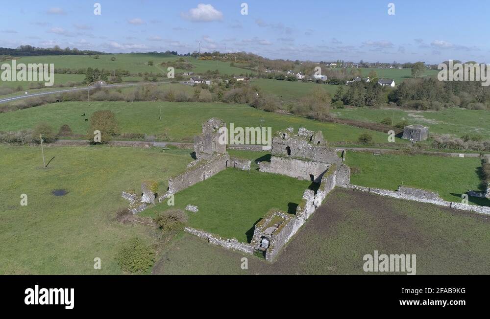 Enclosure in Ballybeg (scarawalsh By.)Enclosure · 1444 yd
 Church (in Ruins)Church · 1564 yd
 IndicatedFairy fort / earthen ringfort · 1620 yd
 SlieveboyMountain / peak · 1.4 mi
 Saint Joseph's Catholic Churchchurch/chapel · 1.5 mi
 Embanked enclosureCastle, motte · 1.6 mi
 Coolpuck WoodForest · 2.2 mi
 Kilbora WoodForest · 2.4 mi
 Blue SchoolMemorial · 3.0 mi
 SlievegowerMountain / peak · 3.2 mi
 Ferns Castle (in ruins)Castle, Anglo-Norman masonry castle · 3.3 mi
 Saint Brigid's WellSpring · 4.2 mi