What is recorded here
Situated on top of high ground overlooking bog to the N and low-lying flat land to the W. Rectangular shaped area (dims 72m N-S; 63m E-W) enclosed by a slight bank which has been reduced to a scarp in most places and a wide flat bottomed fosse (Wth 3m: int. D 0.5m; ext. D 0.3m), both enclosing features are destroyed at W where the natural slope of the hill acts as a defensive feature. No apparent entrance feature was located.
The above description is derived from the published 'Archaeological Inventory of County Offaly' (Dublin: Stationery Office, 1997). In certain instances the entries have been revised and updated in the light of recent research.
Date of upload: 23 May 2011
The monument record does not grant public access. Check the route and ask the landowner before entering private land.
- What survives
- Recorded monument
Places near here
 OCarrolls Castle (in Ruins)Bawn · 923 yd
 Grave YardGraveyard · 964 yd
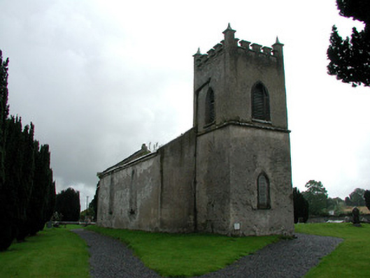 Saint Mark's Church (Ettagh)church/chapel · 968 yd
 EnclosureEnclosure, large enclosure · 1026 yd
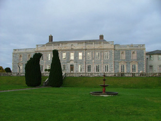 Gloster Housecountry house · 1529 yd
 Eagle HillMountain / peak · 1.5 mi
 Golden Grove WoodWood · 1.7 mi
 Golden Grove HillMountain / peak · 2.0 mi
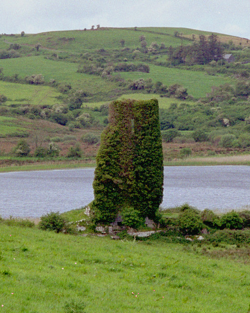 CastleCastle, tower house · 2.4 mi
 Horan's WoodWood · 2.5 mi
 Leap CastleCastle · 2.5 mi
 Roscrea Petty Sessions HouseHeritage attraction · 4.3 mi