
What is recorded here
OCarrolls Castle is a ruined bawn in Ballyknockan, built during the seventeenth century to defend a low-lying hollow in the uplands. Its western and southern walls still stand with two circular angle towers, while the tower house in the north-east corner has collapsed into rubble beside modern sheds. The surviving stones mark a fortified household where people lived, worked and watched the surrounding land before time reduced it to a broken rectangle.
Located in low-lying natural hollow in upland area. Only the W and S walls with portion of the N wall of bawn survives. Tower house (OF042-010001-) was located in NE corner of bawn where only a pile of rubble survives. Modern sheds abutted against the E side of the bawn. The bawn consists of a rectangular shaped area (int. dims. 56m N-S; 61m E-W approx.; wall T 0.7m) with two surviving circular angle towers at SW and NW angles. The angle towers (int. diam. 2.85m: wall T 0.8m) were two storeys high and accessed externally from the bawn area at each level similar to the angle towers at Kilcolgan castle (SMR 15:11). Evidence of gun loops were visible on both towers and bawn wall. The interior of the bawn was accessed through a large segmental arched entrance at the centre of the S wall. From the entrance a stone walled avenue (Wth 3m) running N-S divided the bawn into two areas. The tower house was located in the E half with the domestic quarters located in the W half. The remains of a small square house bonded to the N end of the W wall (int. dims. 4.6m by 4.6m; wall T 0.55m) is probably contemporary with the bawn and fortified house. Other outhouses of a later period are attached to the N wall of the bawn. All the surviving evidence points to a fortified house with large bawn wall with circular flanking towers erected in the 17th-century. Kilcolgan castle (SMR 15:11) in North Offaly is very similar to the above remains.
The above description is derived from the published 'Archaeological Inventory of County Offaly' (Dublin: Stationery Office, 1997). In certain instances the entries have been revised and updated in the light of recent research.
Date of upload: 23 May 2011
The monument record does not grant public access. Check the route and ask the landowner before entering private land.
- What survives
- Recorded monument
Places near here
 Partially indicatedCliff-edge fort · 1440 yd
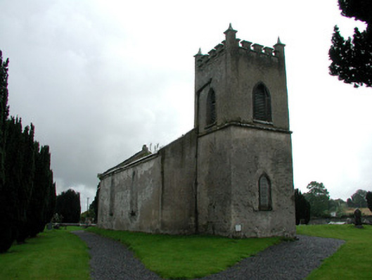 Saint Mark's Church (Ettagh)church/chapel · 1581 yd
 Grave YardGraveyard · 1588 yd
 CastleCastle, tower house · 1.3 mi
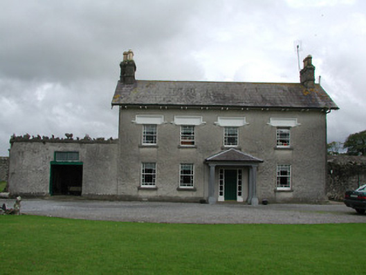 Ballinlough Househouse · 1.3 mi
 Golden Grove WoodWood · 1.5 mi
 Eagle HillMountain / peak · 1.6 mi
 Golden Grove HillMountain / peak · 1.8 mi
 Leap CastleCastle · 2.0 mi
 Horan's WoodWood · 2.1 mi
 EnclosureEnclosure, large enclosure · 1656 yd
 Man-made underground passage in Glasderry MoreMan-made underground passage · 1.2 mi
Other information
Photo: Credit not shown in the picture search · Rights wording not checked; contact us if this picture should be removed