
What is recorded here
Indicated is a double-banked fairy fort on a Galway rise, its stone edges still sharp after centuries of rain. A road now circles part of the ring, and a field wall cuts through the eastern side, yet the northwest banks remain high enough to mark the boundary between human traffic and forgotten life. The fort does not need a name or owner; it waits behind its own walls for someone to stop pretending the countryside is empty.
On a rise in gently undulating grassland. Well-preserved subcircular rath (E-W 40m, N-S 37m) defined by two banks and two fosses. The enclosing elements are best preserved from SW through N to NE; a road encircles them from SE through S to SW, and a field wall cuts the monument at E.
The above description is derived from the published 'Archaeological Inventory of County Galway Vol. II - North Galway'. Compiled by Olive Alcock, Kathy de hÓra and Paul Gosling (Dublin: Stationery Office, 1999).
Date of upload: 05 August 2010
The monument record does not grant public access. Check the route and ask the landowner before entering private land.
- What survives
- Recorded monument
Places near here
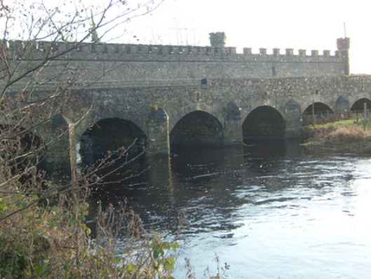 Ballinamore Bridgebridge · 408 yd
 St. Brendans Catholic ChurchChurch · 994 yd
 Yellow WellHoly well · 1.7 mi
 LisnafarnogaFairy fort / earthen ringfort · 1.9 mi
 Tower (in Ruins)Castle, tower house · 2.3 mi
 Site of Ballygar CastleArchaeological place · 2.5 mi
 Cloonavihony WoodForest · 3.1 mi
 Aughrane WoodsForest · 3.7 mi
 Ballinlass Eviction MemorialMemorial · 4.1 mi
 Inch IslandIsland · 4.8 mi
 Mount MaryMountain / peak · 5.5 mi
 Sally IslandIslet · 5.8 mi
Other information
Photo: Credit not shown in the picture search · Rights wording not checked; contact us if this picture should be removed