What is recorded here
Indicated is a circular cashel on a slight Galway rise, its drystone wall still standing after centuries of grass and forgetting. The underground passage in the southwest quadrant suggests people valued privacy or protection enough to dig beneath the fort rather than build taller. A nearby field system and possible rath imply the site belonged to a small busy landscape where daily life moved around the fort instead of stopping at its edge.
On a slight rise in pastureland. Poorly preserved and densely overgrown circular cashel (diam. 47.2m) defined by a drystone wall. Field-clearance rubble has been piled against the external wall-face at S. There is a Man-made underground passage (GA104-014003-) in the SW quadrant of the interior. A field system (GA104-014002-) lay immediately to the N; another possible rath (GA104-280----) lies c. 20m to the SW.
Compiled by: Galway Archaeological Survey, UCG
Updated by: Olive Alcock
Date of revised upload: 6 September 2019
The monument record does not grant public access. Check the route and ask the landowner before entering private land.
- What survives
- Recorded monument
Places near here
 Field system in Ballybaun (dunkellin By.)Field system · 47 yd
 CaveMan-made underground passage · 598 yd
 Cloghroak Castle (in ruins)Castle, tower house · 1455 yd
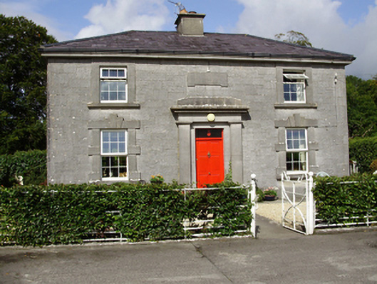 Castle Taylorsteward's house · 1565 yd
 Cregaclarefarmyard complex · 1.1 mi
 Castle (in ruins)Castle, Anglo-Norman masonry castle · 1.6 mi
 Drumharsna CastleHeritage attraction · 3.4 mi
 HawthornHawthorn · 4.2 mi
 European ashEuropean ash · 4.2 mi
 Mulroney's IslandIslet · 7.1 mi
 Mweenish PointHeadland · 8.1 mi
 Traught BeachBeach / strand · 8.6 mi
Other information
Photo: Credit not shown in the picture search · Rights wording not checked; contact us if this picture should be removed