
What is recorded here
In pastureland. Named 'Cave' and depicted within the E sector of a possible rath (GA104-016----) on the 1838 edition of the OS 6-inch map. On the OS 1:2500 plan (surveyed 1912-16) it is named and shown immediately to the SE of the trackway of a 'Great Southern Railways' line that ran NE-SW cutting through the NW half of the rath. No visible surface trace survives.
Compiled by: Olive Alcock
Date of upload: 17 July 2019
The monument record does not grant public access. Check the route and ask the landowner before entering private land.
- What survives
- Recorded monument
Places near here
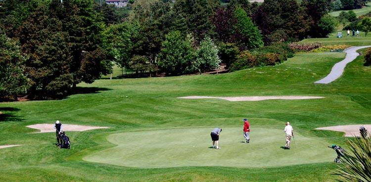 Field system in Ballybaun (dunkellin By.)Field system · 572 yd
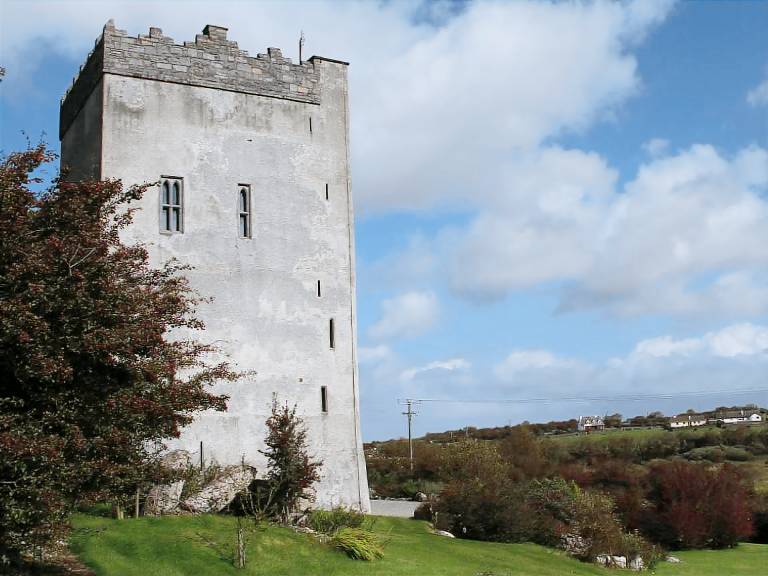 IndicatedFairy fort / stone ringfort · 598 yd
 Cregaclarefarmyard complex · 1276 yd
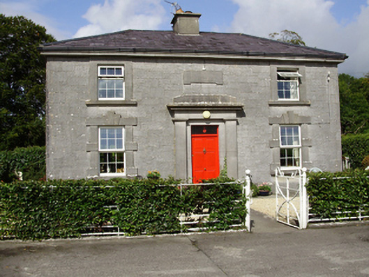 Castle Taylorsteward's house · 1504 yd
 Cloghroak Castle (in ruins)Castle, tower house · 1.0 mi
 Castle (in ruins)Castle, Anglo-Norman masonry castle · 1.3 mi
 Drumharsna CastleHeritage attraction · 3.2 mi
 HawthornHawthorn · 3.9 mi
 European ashEuropean ash · 3.9 mi
 Mulroney's IslandIslet · 7.0 mi
 Mweenish PointHeadland · 8.2 mi
 Traught BeachBeach / strand · 8.5 mi
Other information
Photo: Credit not shown in the picture search · Rights wording not checked; contact us if this picture should be removed