What is recorded here
A road bridge (L 26.7m, wall T 0.45m; parapet wall H 1.07m) over the Nenagh River immediately E of Ballyartella tower house (TN014-057001-). The bridge has five spans and was originally 4.4m wide. A further 1.75m was added onto the N (downstream) side. Some dressed stone is evident on the original bridge and there is a suggestion of wicker centring on the underside of the vault. Originally there were three refuges (D. 0.75m; Wth 1.6m) 3.5m apart on the S side of the bridge, but today only two refuges survive standing on triangular-shaped cutwaters, which appear to have been refaced. The relief arches are of roughly cut blocks of limestone. Stone bedrock under the spans have been quarried out. A ford at Ballyartella is mentioned in Civil Survey 1654-6 (Simington 1934, vol. 2, 297).
The above description is derived from 'The Archaeological Inventory of County Tipperary. Vol. 1 - North Tipperary' compiled by Jean Farrelly and Caimin O'Brien (Dublin: Stationery Office, 2002). In certain instances the entries have been revised and updated in the light of recent research.
Compiled and revised by: Caimin O'Brien
Date of revised upload: 16 December 2015
The monument record does not grant public access. Check the route and ask the landowner before entering private land.
- What survives
- Recorded monument
Places near here
 Ballyartella Bridgebridge · 1 yd
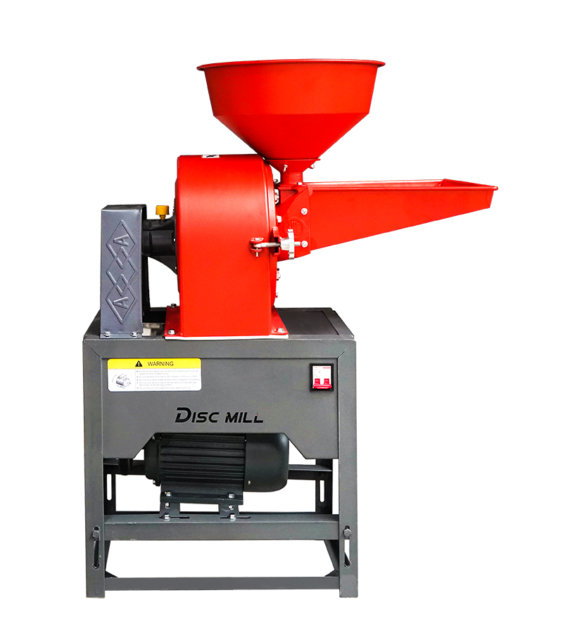 Flour MillWater mill, unclassified · 34 yd
 Castle (in ruins)Castle, tower house · 59 yd
 Fulacht fia in Ballyhogan (knigh Par.)Fulacht fia · 1405 yd
 Enclosure in AnnaghbegEnclosure · 1726 yd
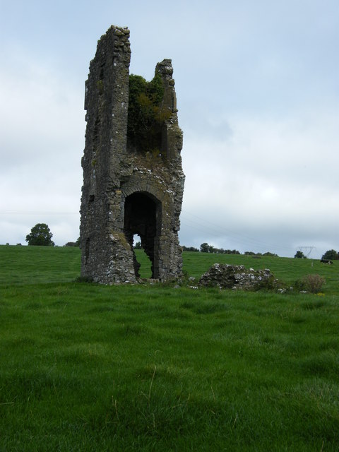 Knigh CastleCastle · 1.4 mi
 Knigh HillMountain / peak · 1.7 mi
 Goose IslandIslet · 2.4 mi
 Dromineer BayBay · 2.9 mi
 Blessed WellNature reserve · 2.9 mi
 Connaught BayBay · 2.9 mi
 Nenagh Heritage CentreMuseum · 2.9 mi