
What is recorded here
Situated on the crest of a natural rise in gently undulating pastureland. Shown as a circular enclosure with trees growing on it on the 1st ed. (1840) OS 6-inch map and as a smaller, hachured circular area on the latest ed. The SE quadrant of this site has been substantially excavated to extract gravel and the upcast is heaped up around the edge of the quarry face. A new house has been constructed c. 10m NW of the site. There are no surviving traces of any delimiting feature at ground level.
The above description is derived from 'The Archaeological Inventory of County Tipperary. Vol. 1 - North Tipperary' compiled by Jean Farrelly and Caimin O'Brien (Dublin: Stationery Office, 2002). In certain instances the entries have been revised and updated in the light of recent research.
Date of upload/revision: 22 September 2008
The monument record does not grant public access. Check the route and ask the landowner before entering private land.
- What survives
- Recorded monument
Places near here
 Annaghbeg Housecountry house · 445 yd
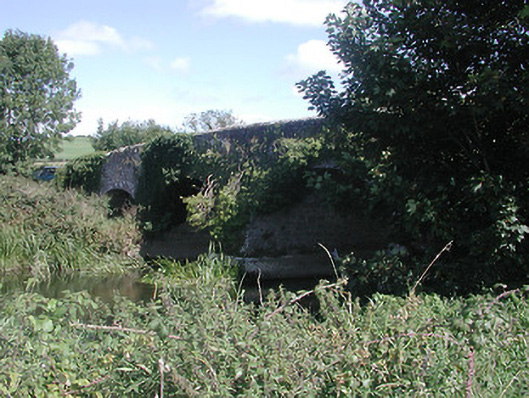 Annaghbeg Bridgebridge · 586 yd
 Fulacht fia in Ballyhogan (knigh Par.)Fulacht fia · 1367 yd
 Castle (in ruins)Castle, tower house · 1685 yd
 IndicatedFairy fort / earthen ringfort · 1.0 mi
 Dromineer CastleCastle · 1.3 mi
 Goose IslandIslet · 1.4 mi
 Knigh HillMountain / peak · 1.8 mi
 Dromineer BayBay · 1.9 mi
 Connaught BayBay · 2.0 mi
 Blessed WellNature reserve · 2.5 mi
 Buggane IslandIslet · 3.3 mi
Other information
Photo: Credit not shown in the picture search · Rights wording not checked; contact us if this picture should be removed