What is recorded here
Circular area (21m E-W; 24m N-S) defined by scarp E->S; bank (max. H 1.6m) SW->N; remains of external fosse (Wth 3m; D 0.85m) to W. Some stone facing on internal face of bank to W. Partially partially overgrown.
The above description is derived from the published 'Archaeological Inventory of County Cork. Volume 1: West Cork' (Dublin: Stationery Office, 1992). In certain instances the entries have been revised and updated in the light of recent research.
Date of upload/revision: 14 January 2009
A local fairy fort (ringfort/rath); wider significance not recorded.
The monument record does not grant public access. Check the route and ask the landowner before entering private land.
- What survives
- Recorded monument
Places near here
 Kill B Gd (Childrens) (Disused)Burial ground · 598 yd
 Kill Burial Gd (Children) (Disused)Radial-stone enclosure · 841 yd
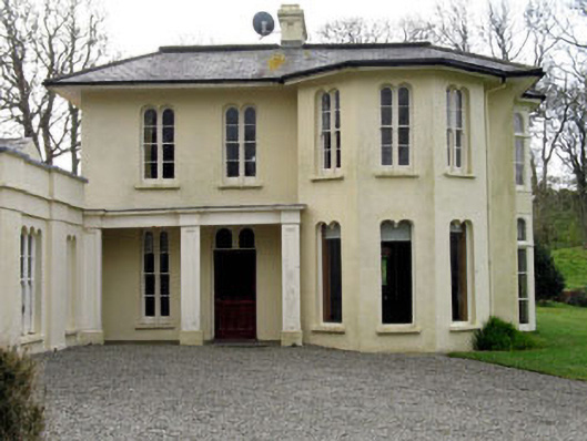 Lough Ine Househunting/fishing lodge · 1235 yd
 Wild Atlantic Way:Lough HyneVisitor information · 1575 yd
 Trá na BóBeach / strand · 1577 yd
 ClochánCastle · 1577 yd
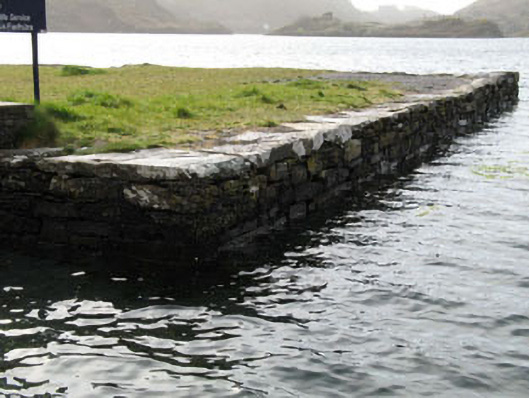 quay/wharfquay/wharf · 1581 yd
 TralispeanBeach / strand · 1659 yd
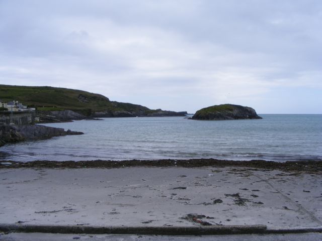 Drishane IslandIslet · 1.1 mi
 Bullock IslandIslet · 1.2 mi
 KnockomaghMountain / peak · 1.3 mi
 Walk 5 - Lough Hyne (7km)Walking route · 1.4 mi