What is recorded here
In pasture, located in a natural depression on a saucer-shaped terrace on a NW-facing slope, overlooking a flat expanse of lowlying bog and reclaimed pasture.
When inspected in 1995 this rath consisted of a raised circular area (35m N–S; 33.3m E–W) defined by an earthen bank (Wth 1.6m; int. H 0.7m; ext. H 0.55m, at S), reduced at WSW–NW to a scarp (ext. H 1m) which retained a hint of an inner lip (Wth 3m). The interior had a slight slope down to SE. There was a low, sod-covered rise (1.5m N–S; 2m E–W; H 0.3m) roughly in the centre of the interior. A shallow depression (Wth 1.7m; D 0.25m) was evident along the inner edge of the bank on the SW arc. There was a gap (Wth 2.8m) in the bank at E and another (Wth 2m) at SE. The rath has since been levelled.
Compiled by: Jane O’Shaughnessy
Date of upload: 3 May 2019
The monument record does not grant public access. Check the route and ask the landowner before entering private land.
- What survives
- Recorded monument
Places near here
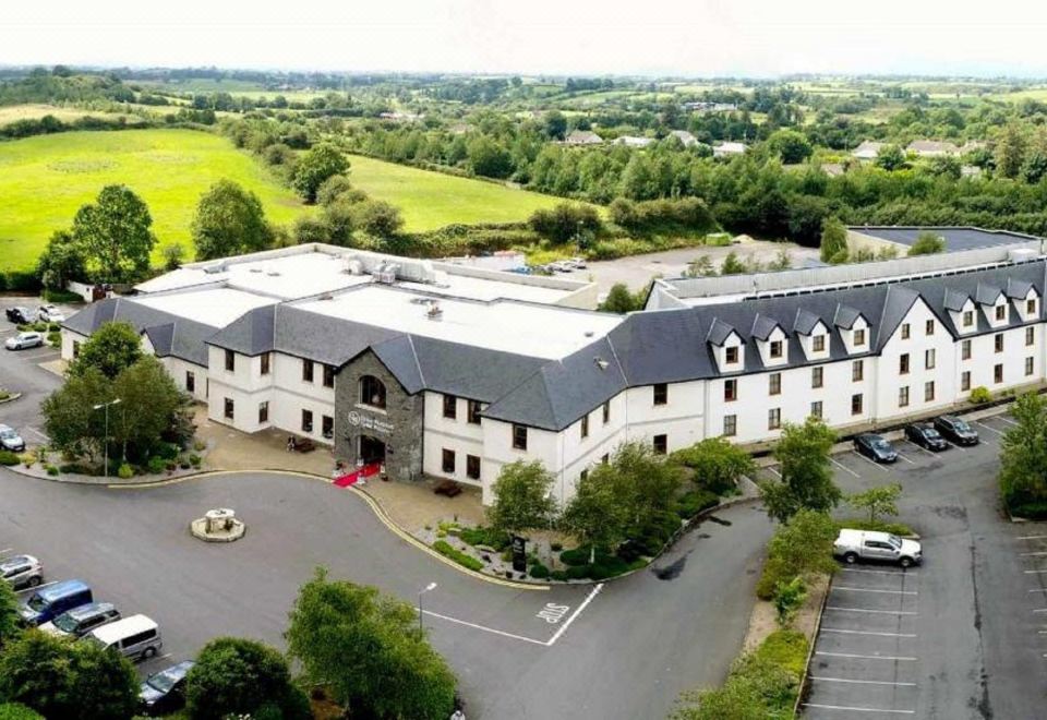 RathnabartHilltop enclosure · 418 yd
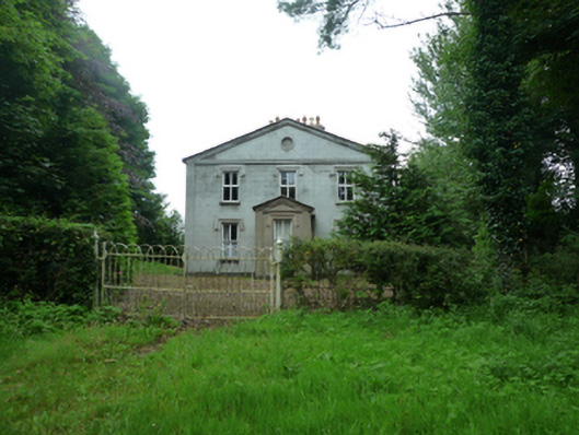 Thornfieldhouse · 1555 yd
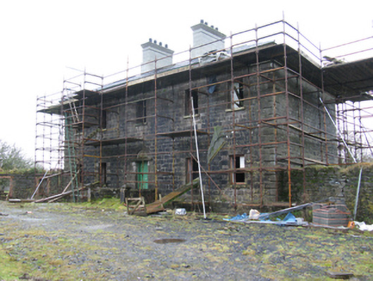 Ballybroony Housecountry house · 1.0 mi
 TobernasoolHoly well · 1.1 mi
 Ballinteean CastleCastle · 2.0 mi
 Bawn in FarraghBawn · 2.1 mi
 Battle of Killalabattle · 3.8 mi
 Battlefields of MoyneBattlefield · 4.1 mi
 Green IslandIslet · 4.2 mi
 Moyne AbbeyHeritage attraction · 4.3 mi
 Gortabradawn PointHeadland · 4.4 mi
 Rinphilip PointHeadland · 4.6 mi