
What is recorded here
Indicated is a circular fairy fort on a Meath rise, its grassy edge marked by a shallow scarp and forgotten entrance. People may have lived inside the bank or fled the fort when danger came, but no name or date has survived to confirm that life. The measureable ring still stands while the humans who shaped it have disappeared into legend.
Located on a rise in an undulating landscape. This is a circular, raised grass and scrub-covered area (diam. 36m NW-SE; 35.5m NE-SW) defined by slight traces of a bank (Wth of base 6-8m; int. H 1-1.3m) but largely by a scarp (H c. 1m) E-S, a fosse at S: Wth of base 3m; ext. D 0.2m) ESE-S-W, and an outer bank (at S: Wth 4.5m; ext. H 0.2m) ESE-S-W that encloses rath (ME008-018002-), which is to the N but separated by a berm (Wth 6m), on its W side. The original entrance is not identified.
The above description is derived from the published 'Archaeological Inventory of County Meath' (Dublin: Stationery Office, 1987). In certain instances the entries have been revised and updated in the light of recent research.
Compiled by: Michael Moore
Date of revision: 31 October 2018
Amended: 15 December 2022
The monument record does not grant public access. Check the route and ask the landowner before entering private land.
- What survives
- Recorded monument
Places near here
 EnclosureEnclosure, large enclosure · 241 yd
 mill (water)mill (water) · 805 yd
 CastleCastle, unclassified · 895 yd
 Font in Moat (fore By.)Font · 1422 yd
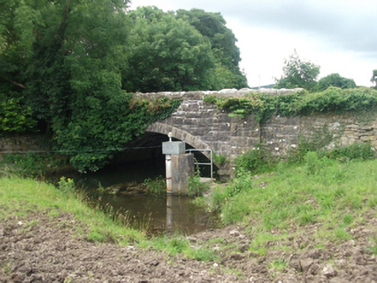 Ballinrink Bridgebridge · 1512 yd
 The MoatCastle, motte and bailey · 1.0 mi
 European BeechEuropean Beech · 1.2 mi
 Mullaghmeen ForestPicnic place · 1.4 mi
 Mullaghmeen Red WalkWalking route · 1.4 mi
 Mullaghmeen White WalkWalking route · 1.6 mi
 MullaghmeenMountain / peak · 1.6 mi
 Mount FortuneMountain / peak · 3.2 mi
Other information
Photo: Credit not shown in the picture search · Rights wording not checked; contact us if this picture should be removed