What is recorded here
Indicated on 1842 OS 6-inch map as large complex on E bank of Glashaboy river. Rectangular mill (19.85m N-S; 12.5m E-W) survives; double gable-ended except for hipped E end of southern roof, with roof vent. W elevation of coursed limestone ashlar; two elliptically-headed doors at ground floorwith limestone surrounds, brick surrounds to rest of opes. Wheel-pit (Wth 4.1m) along E elevation; houses low breastshot iron waterwheel with pinion wheel attached to shrouding. Mill race still flowing approaching mill from N; remains of sluice-gate just N of wheel-pit. Five-bay extension from E elevation of mill survive; connected mill to large complex of buildings indicated to E of mill on 1842 and 1902 OS 6-inch maps but which no longer survive; straddling wheel-pit, burnt 1960 and subsequently rebuilt to present 1-storey height.
The above description is derived from the published 'Archaeological Inventory of County Cork. Volume 2: East and South Cork' (Dublin: Stationery Office, 1994). In certain instances the entries have been revised and updated in the light of recent research.
Date of upload/revision: 14 January 2009
The monument record does not grant public access. Check the route and ask the landowner before entering private land.
- What survives
- Recorded monument
Places near here
 mill (water)mill (water) · 8 yd
 KilnKiln, lime · 86 yd
 Architectural fragment in BallinglannaArchitectural fragment · 544 yd
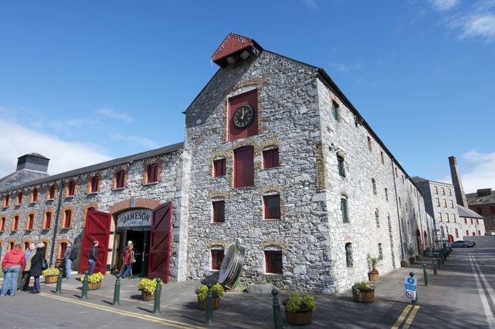 Icehouse in DunkettleIcehouse · 1256 yd
 Cork WalksVisitor information · 1.3 mi
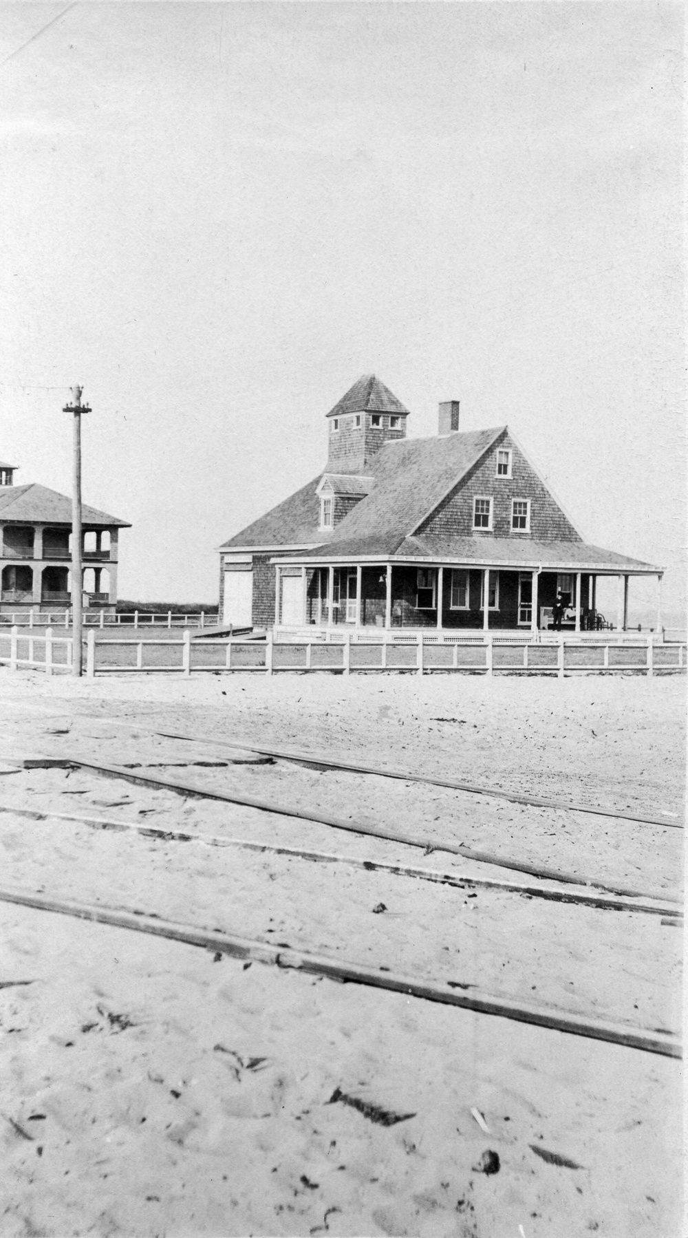 Old coast guard station ruinRuins · 1.5 mi
 Tinker's Cross ParkMemorial · 1.5 mi
 Glanmire Heritage SocietyMemorial · 1.5 mi
 Old Court (Site of)Castle, unclassified · 1.5 mi
 Castle (in Ruins)Castle, tower house · 1.7 mi
 Carberrytown WoodWood · 2.0 mi
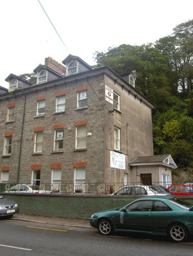 Eastcliffe / Glanmire Chiropractic Clinichouse · 112 yd