What is recorded here
In pasture, located on a low rise, with good views over surrounding rough grassland and flat expanses of bog.
Shown on the 1838 OS 6-inch maps as a roughly circular enclosure (diam. c. 25m). By the time of the 1920 edition, it is shown as roughly semicircular area (25-30m E−W), suggesting that a portion of the S arc had been dug away, and a field boundary is shown zig-zaging through the interior from SW to N.
The enclosure if engulfed in gorse and brambles, and is difficult to examine. The remains appear to cover an area measuring c. 16.5m N−S by c. 25m E−W. Part of a low, relatively narrow enclosing bank (Wth 1.6m; int. H 0.20m at N, 0.45m at E; ext. H 0.8m at N, 0.65m at E) can be traced curving N−E. It has been incorporated into later field fences at S, and field fences radiate from it at SE, S and N.
Compiled by: Jane O'Shaughnessy
Date of upload: 26 June 2020
The monument record does not grant public access. Check the route and ask the landowner before entering private land.
- What survives
- Recorded monument
Places near here
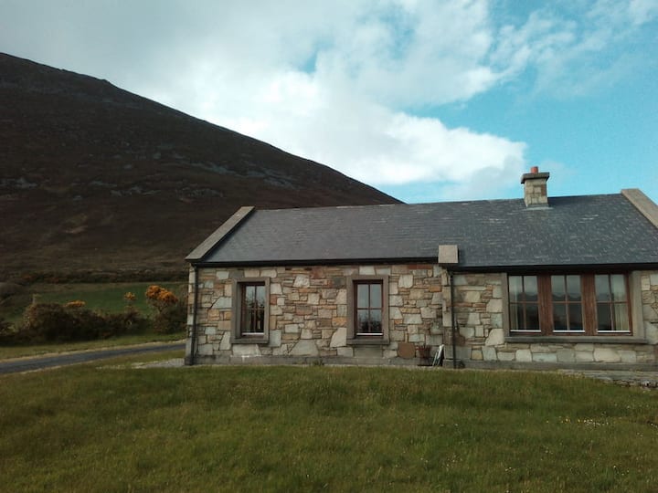 Doomore FortArchaeological place · 1148 yd
 Indicated (1838).Enclosure · 1.1 mi
 Musicans of DoocastleMemorial · 1.3 mi
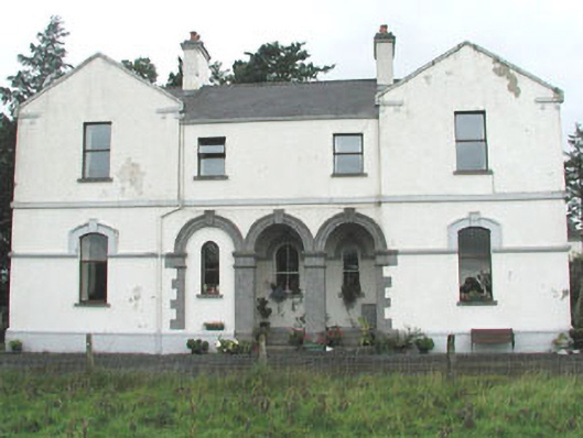 Doobeg Househouse · 1.3 mi
 Old Cave Burial GroundArchaeological place · 2.7 mi
 Castle (in Ruins)Castle, tower house · 2.9 mi
 Tymon's HillMountain / peak · 3.1 mi
 Ballyfahy Castle (in Ruins)Castle, unclassified · 3.2 mi
 Muckelty HillMountain / peak · 5.3 mi
 Caves of KeshCave · 8.1 mi
 Crow IslandIslet · 8.5 mi
 School CaveCave · 9.0 mi