What is recorded here
In pasture on E-facing slope. Symbol for stone shown in this position on OS 6-inch map (1842). No visible surface trace.
The above description is derived from the published 'Archaeological Inventory of County Cork. Volume 1: West Cork' (Dublin: Stationery Office, 1992). In certain instances the entries have been revised and updated in the light of recent research.
Date of upload/revision: 14 January 2009
Dated to the Late Bronze Age or Early Iron Age based on the style of the symbol, it may have had ritual or territorial significance. Local folklore sometimes associates such stones with ancient druids or protective boundaries.
The monument record does not grant public access. Check the route and ask the landowner before entering private land.
- What survives
- Recorded monument
Places near here
 IndicatedChurch · 316 yd
 Trá an tAonaighBeach / strand · 662 yd
 Coppingers Courtcastle/fortified house · 866 yd
 Lookout over MillcoveViewpoint · 1277 yd
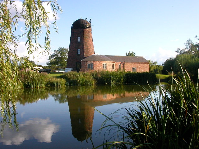 Roury Mill (Corn)Milling complex · 1539 yd
 Drombeg Stone CircleArchaeological place · 1604 yd
 Stone CircleStone circle, multiple-stone · 1604 yd
 Drombeg Fulacht Fia and RuinsVisitor information · 1668 yd
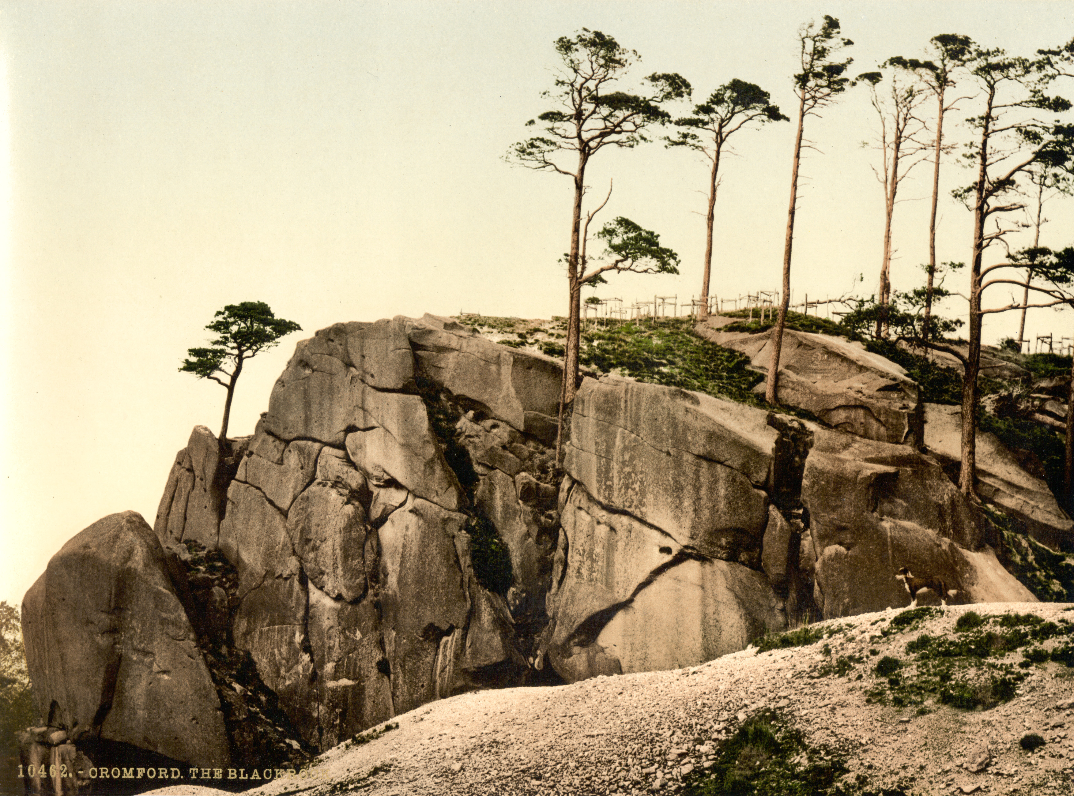 The Black RocksIslet · 1.2 mi
 Walk 1 - Drombeg Standing Stone Circle (7 - 9 km)Walking route · 1.4 mi
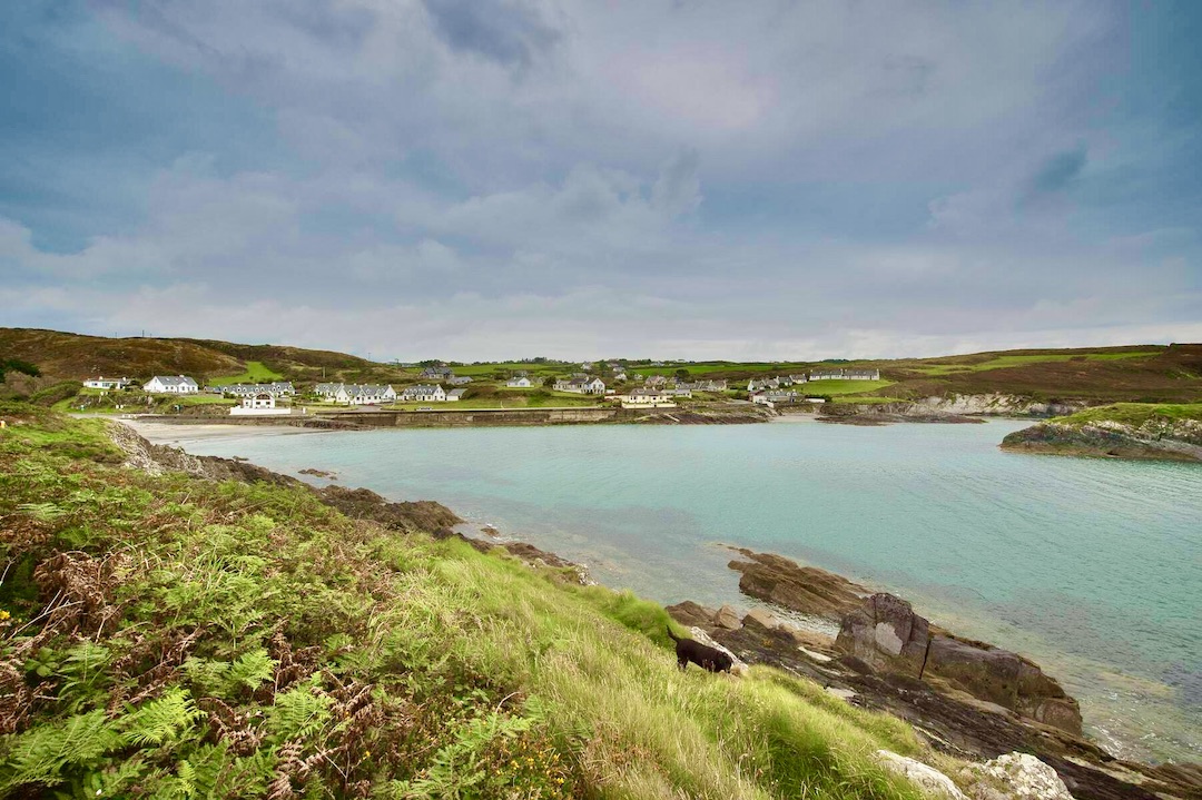 Faill na SeabhachCliff · 1.4 mi
 Prison CoveBeach / strand · 1.6 mi