What is recorded here
Western portion rectangular structure (Wth 5.6m; wall thickness 0.6m) incorporated into field fence. Indicated on OS 6-inch map (1842) as 'R.C. Chapel (in ruins)'. E end of structure collapsed and overgrown. Locally known as church.
The above description is derived from the published 'Archaeological Inventory of County Cork. Volume 1: West Cork' (Dublin: Stationery Office, 1992). In certain instances the entries have been revised and updated in the light of recent research.
Date of upload/revision: 14 January 2009
A local church or high cross; wider significance not recorded.
The monument record does not grant public access. Check the route and ask the landowner before entering private land.
- What survives
- Recorded monument
Places near here
 Trá an tAonaighBeach / strand · 462 yd
 Coppingers Courtcastle/fortified house · 992 yd
 Drombeg Stone CircleArchaeological place · 1313 yd
 Stone CircleStone circle, multiple-stone · 1313 yd
 Fulacht fia in Drombeg (carbery E. (w.d.) By.)Fulacht fia · 1354 yd
 Drombeg Fulacht Fia and RuinsVisitor information · 1375 yd
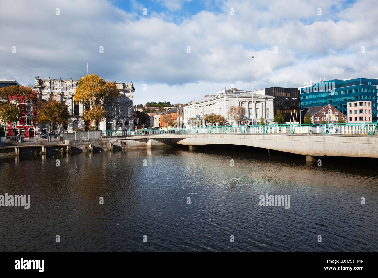 Bridge in RouryglenBridge · 1576 yd
 Lookout over MillcoveViewpoint · 1576 yd
 Walk 1 - Drombeg Standing Stone Circle (7 - 9 km)Walking route · 1.3 mi
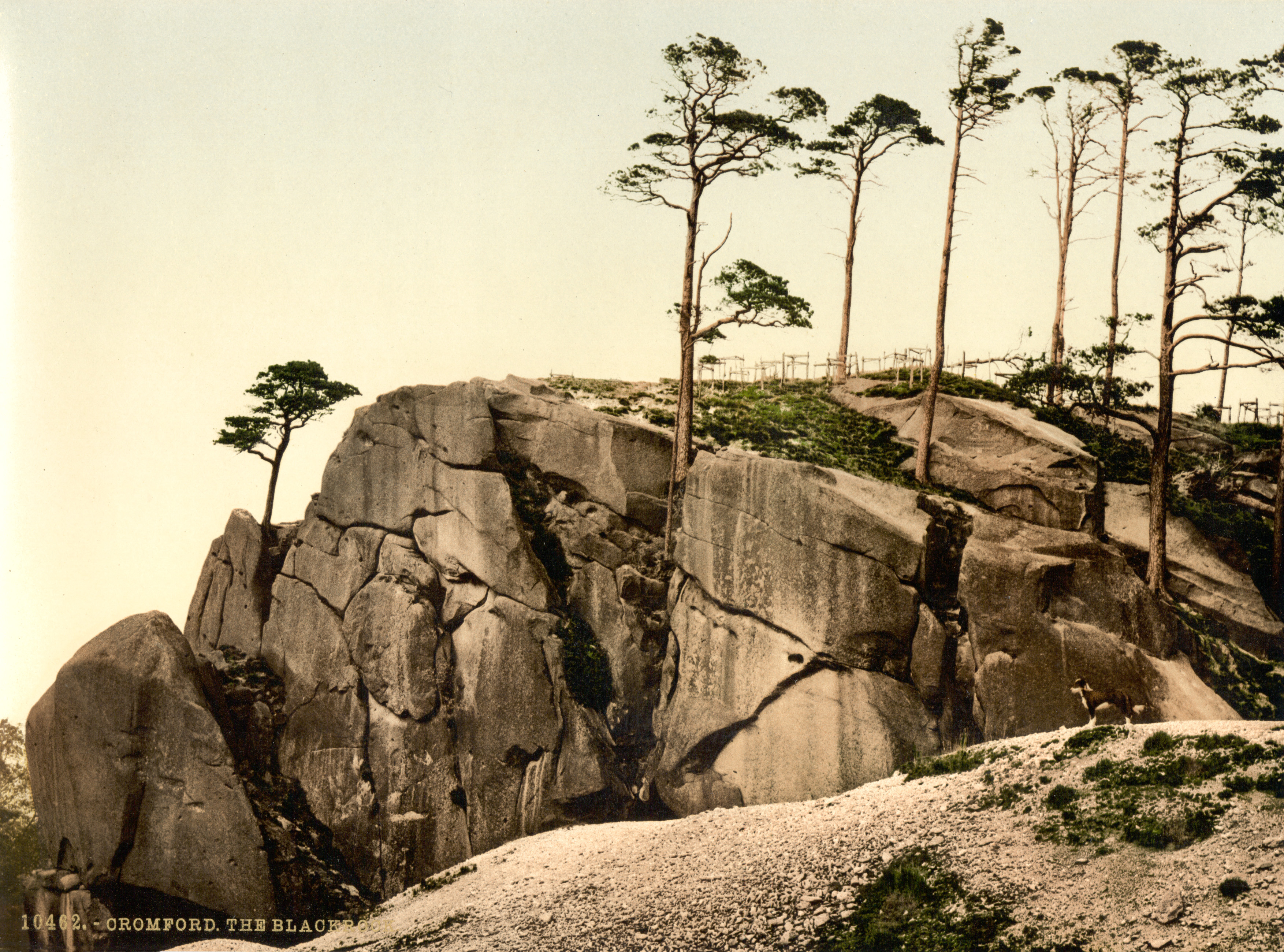 The Black RocksIslet · 1.3 mi
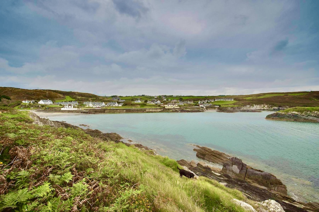 Faill na SeabhachCliff · 1.3 mi
 Prison CoveBeach / strand · 1.5 mi
Other information
Photo: Credit not shown in the picture search · Rights wording not checked; contact us if this picture should be removed