
What is recorded here
In heavily overgrown rough pasture on the SW-facing slopes of a NW-SE ridge, with views S to Mangerton Mountain. An aerial photograph (OSAP 2123), taken in 1989, shows a field system covering a roughly square area (c. 300m NW-SE; c. 300m NE-SW). The remains of a partially collapsed curvilinear stone wall (av. T 0.65m; max. H 0.7m), which runs in a general SE-NW direction for c. 240m and then curves gradually to the SW for c. 100m, marks the NE boundary of the field system. At its NW end, traces of another wall which branches off to the SSW for c. 30m are evident. Roughly 50m to the SW of the SE-NW wall are further partially collapsed drystone walls (av. T 0.6m; max. H 1m), some of which are indicated on the 1846 OS 6-inch map, which enclose at least four roughly rectangular fields and three irregular fields, all obscured by dense overgrowth. Occasional traces of NE-SW cultivation ridges were noted in these fields. An enclosure (KE067-088001-) lies in the SW quadrant of the field system.
Compiled by: Elizabeth Byrne, Ursula Egan and Sheila Ronan, Archaeological Survey Unit, University College, Cork.
Date of upload: 31 January 2011
The monument record does not grant public access. Check the route and ask the landowner before entering private land.
- What survives
- Recorded monument
Places near here
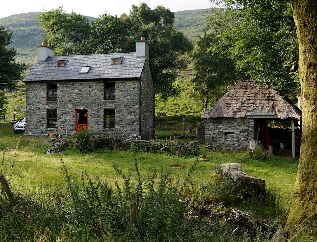 Enclosure in BallahacommaneEnclosure · 136 yd
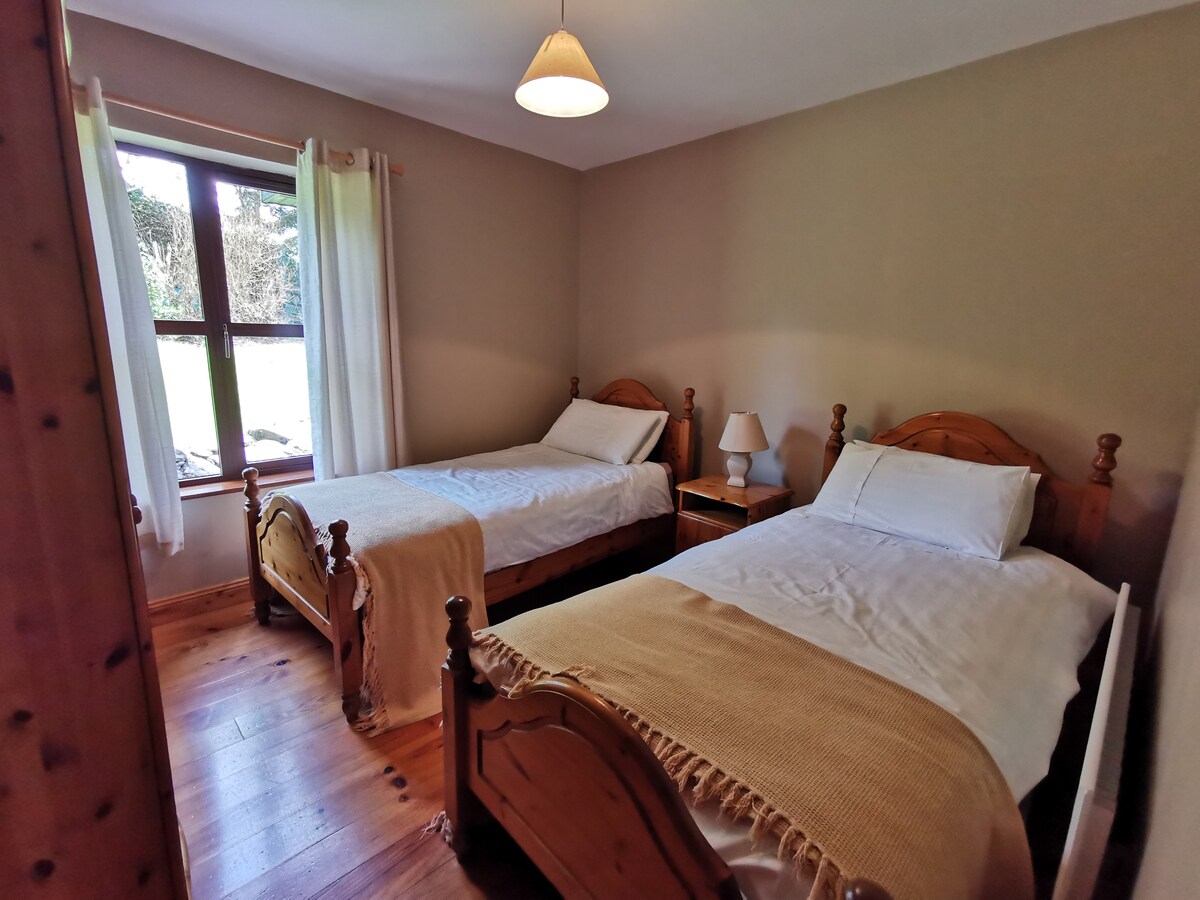 Hut site in BallahacommaneHut site · 310 yd
 Lissivigeen Stone CircleHeritage attraction · 1.5 mi
 Mass RockNamed rock · 1.6 mi
 Religious houseReligious house, Franciscan friars · 1.7 mi
 Woodfordhouse · 1.8 mi
 Flesk CastleCastle · 2.2 mi
 Sheheree Bog Nature ReserveNature reserve · 2.6 mi
 Killaha Castle (in Ruins)Castle, tower house · 3.0 mi
 The Blue PoolGallery · 3.4 mi
 Killarney First World War MemorialMemorial · 3.4 mi
 Blue Pool Nature ReserveWood · 3.4 mi
Other information
Photo: Credit not shown in the picture search · Rights wording not checked; contact us if this picture should be removed