What is recorded here
Situated on an E-facing slope beside the Glencree River. A system of small fields and enclosures covering an area of c. 150m x 150m, visible on aerial photographs (GSIAP 1973, O 170-71 O 94/95). There are three oval or subrectangular enclosures (dims. c. 20m x 15m; 30m x 25m; 55m x 30m), and these are linked by faint traces of field boundaries. See attached Google Earth aerial image taken 30/05/2009 showing extent of field system and enclosures
The above description is derived from the published 'Archaeological Inventory of County Wicklow' (Dublin: Stationery Office, 1997).
From the National Monuments Service (Archaeological Survey of Ireland) record WI006-005
The monument record does not grant public access. Check the route and ask the landowner before entering private land.
- What survives
- Recorded monument
Places near here
Photo credits
- National Inventory of Architectural Heritage
- JP, Geograph · CC BY-SA 2.0
- Britishfinance, Wikimedia Commons · CC BY-SA 4.0
- Sarah777 at English Wikipedia, Wikimedia Commons · Public domain
- jwd, Geograph · CC BY-SA 2.0
- Joe King, Wikimedia Commons · CC BY-SA 3.0
- Sheila1988, Wikimedia Commons · CC0
- Barry, Geograph · CC BY-SA 2.0
- Sarah777, Geograph · CC BY-SA 2.0
- Walter Siegmund (talk), Wikimedia Commons · CC BY-SA 3.0
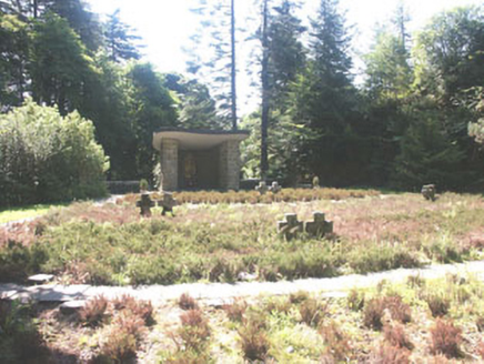 Deutscher Kriegs FriedhofGraveyard/cemetery · 1138 yd
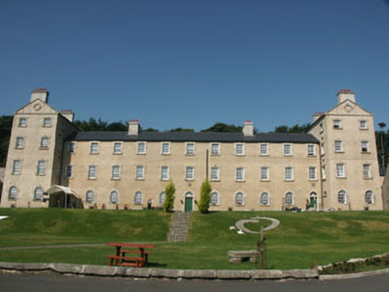 Glencree BarrackBarracks · 1152 yd
 Glencree German War CemeteryHeritage attraction · 1340 yd
 Prince William's SeatMountain / peak · 2.0 mi
 KippureMountain / peak · 2.2 mi
 Noel Lemass MemorialMemorial · 2.2 mi
 Source of River LiffeySpring · 2.3 mi
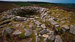 Tibradden Chambered CairnArchaeological place · 3.3 mi
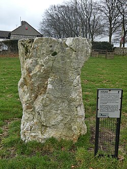 Glencullen Standing StoneArchaeological place · 3.4 mi
 Wicklow WayWalking route · 3.6 mi
 Pine ForestForest · 3.8 mi
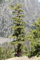 Douglas-fir3.8 mi
More archaeology and monuments in County Wicklow · All of County Wicklow
What do you know about this place?