
What is recorded here
On summit of a high step-sided hill (OD c. 270m ), in mixed tillage and pasture. A circular area (diam. 58m) is defined by a low earthen bank (int. H 0.5-1m; ext H 0.7-1.2m) with external stone facing S-W-NE, and traces of a possible narrow, outer fosse (Wth 1m) S-W. No visible entrance. The tree-planted interior contains a centrally located, low circular mound of earth and stone (base diam. 10m; surface diam. 2m; H 0.6m), probably a trigonometrical station.
Compiled by: Gearóid Conroy
Date of upload: 23 July 2012
A local fairy fort (ringfort/rath); wider significance not recorded.
The monument record does not grant public access. Check the route and ask the landowner before entering private land.
- What survives
- Recorded monument
Places near here
 CastleCastle, unclassified · 431 yd
 Holy well in AthgarrettHoly well · 593 yd
 Enclosure in NewtownparkEnclosure · 1315 yd
 Catholic Church of the Immaculate Conceptionchurch/chapel · 1752 yd
 Deer Park PlantationForest · 1.0 mi
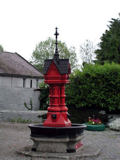 Tickell Memorial Fountainfountain · 1.0 mi
 Blessington DemesneWood · 1.5 mi
 Blackhall Castle (in Ruins)Castle, tower house · 1.6 mi
 The Square RenewalMemorial · 2.0 mi
 Dame Ninette de ValoisMemorial · 2.0 mi
 Cupidstown HillMountain / peak · 4.0 mi
 Lacken – Mass Path LoopWalking route · 4.7 mi
Other information
Photo: Credit not shown in the picture search · Rights wording not checked; contact us if this picture should be removed