What is recorded here
In flat pastureland c. 40m to the E of the Clarin River and within the medieval walled town of Athenry (GA084-001----). Named 'Moor Well' on the 1933 edition of the OS 6-inch map, this roughly subcircular well (0.77m N-S; 0.72m E-W; D 0.7m) is defined by a drystone wall (Wth 0.5m), three to four courses high. A small gap at W access it. On inspection the well was dry. A spa well (GA084-001016-) lies c. 168m to the
NNE.
Compiled by: Olive Alcock
Date of upload: 13 November 2019
The monument record does not grant public access. Check the route and ask the landowner before entering private land.
- What survives
- Recorded monument
Places near here
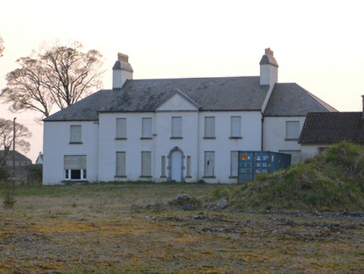 Athenry Housecountry house · 176 yd
 IndicatedTown defences · 278 yd
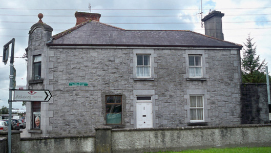 The Stone Househouse · 314 yd
 Athenry AbbeyHeritage attraction · 318 yd
 The Twelve ApostlesMonument · 421 yd
 Athenry CastleHeritage attraction · 531 yd
 Castle or King Johns Court (in ruins)Castle, Anglo-Norman masonry castle · 544 yd
 Horse-chestnutHorse-chestnut · 899 ydFirst Battle of Athenrybattle · 1.0 mi
 Castle (in Ruins)Castle, unclassified · 2.0 mi
 Moyard WoodWood · 2.7 mi
 Wall monument in AthenryWall monument · 318 yd