
What is recorded here
In pasture, on E-facing slope below brow of ridge. Key-hole shaped area (circle to S: 72m E-W; 74m N-S; rectangular projection to N: 35m E-W; 28m N-S) defined by a scarped edge (H 1.6m; Wth 6.5m) NNW->SSE and enclosed by earth-and-stone bank (int. H 0.8m; ext. H 1.05m) SSE->NNW. Dry-stone wall runs along top of bank SW->NW and along top of scarped edge NNE->ENE. East half on interior slopes down to E; an earth-and-stone bank (H 0.50m; L 24m), on N-S axis, marks this break in slope on S side.
Compiled by: Denis Power
Date of upload: 26 August 2011
The monument record does not grant public access. Check the route and ask the landowner before entering private land.
- What survives
- Recorded monument
Places near here
 Ballindeel Houserectory/glebe/vicarage/curate's house · 907 yd
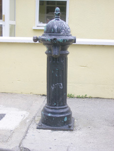 water pumpwater pump · 1012 yd
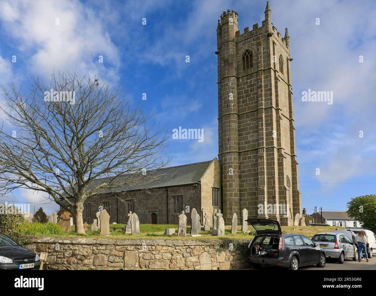 Grave YardGraveyard · 1076 yd
 AskeatonHistoric town · 1208 yd
 Askeaton CastleHeritage attraction · 1261 yd
 Milltown Castle (in ruins)Castle, tower house · 1.7 mi
 Lismakeery Castle (in ruins)Castle, tower house · 2.0 mi
 Holly IslandIslet · 2.6 mi
 Little HeavenHeritage attraction · 3.6 mi
 European YewEuropean Yew · 3.8 mi
 Herring RockNamed rock · 4.5 mi
 Tummera LittleIslet · 4.6 mi
Other information
Photo: Credit not shown in the picture search · Rights wording not checked; contact us if this picture should be removed