What is recorded here
Marked only on the 1929 ed. of the OS 6-inch map as a tree ring (diam. c. 42m), and situated on the crest of a low rise in full view of Old Cloonalis House (RO026-018----) c. 500m to the NNW. It is a copse of mature deciduous and coniferous trees. Two stones (dims. 0.9m x 0.6m; H 0.8m; dims. 0.8m x 0.7m; H 0.3m) are on the perimeter at SW.
Compiled by: Michael Moore
Date of upload: 24 August 2010
The monument record does not grant public access. Check the route and ask the landowner before entering private land.
- What survives
- Recorded monument
Places near here
 Quarry in ArmQuarry · 409 yd
 Enclosure in ArmEnclosure · 488 yd
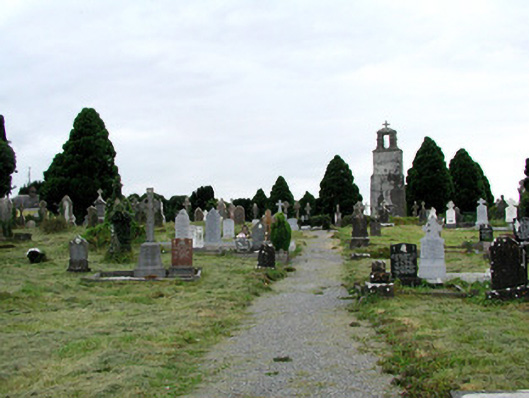 Saint Joseph's Catholic Churchgraveyard/cemetery · 611 yd
 IndicatedFairy fort / earthen ringfort · 1012 yd
 Clonalis HouseMuseum · 1072 yd
 Castlereagh HouseCastle, unclassified · 1.1 mi
 Workhouse MemorialMemorial · 1.5 mi
 Silver IslandIslet · 2.0 mi
 Coolougher WoodForest · 2.2 mi
 Druminagh WoodForest · 4.2 mi
 TowerCastle, tower house · 4.5 mi
 Fairymount HillMountain / peak · 5.0 mi